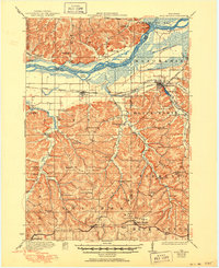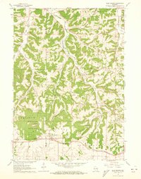
1962 Map of Blue Mounds
USGS Topo · Published 1973About this map
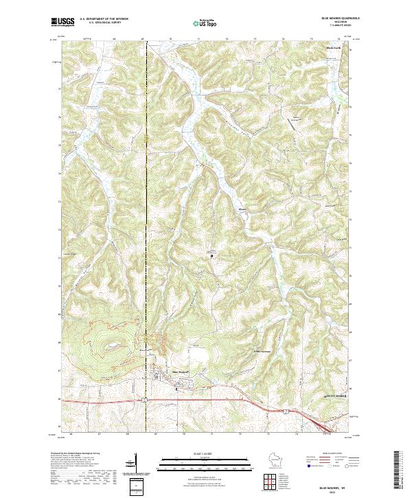
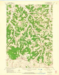
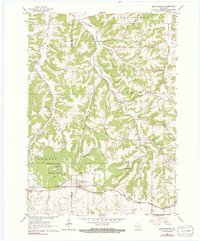
Blue Mounds State Park dominates the southwestern corner of this survey, marking a high point in the landscape where the village of Blue Mounds sits atop the southern ridge. The area's complex geology is evident in the presence of subterranean landmarks like the Cave of the Mounds and Lost River Cave, while the surface is defined by deep valleys such as Pleasant Valley and Walnut Hollow. The Chicago and North Western railroad provides a vital transportation corridor through the town, cutting through the elevation changes that define the Iowa and Dane County border.
Find a feature on this map
30 named features on this map. Tap any name to fly to it.
Don’t see what you’re looking for? This feature index may not catch every label — zoom into the map to look around manually.
Map Details
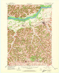
Editions of this 1962 Blue Mounds Map
3 editions found
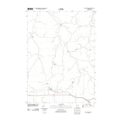
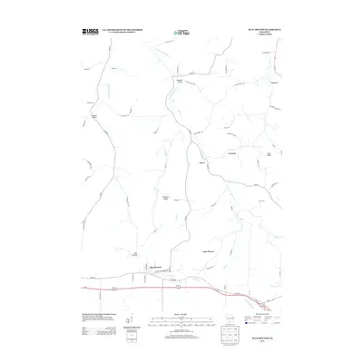
Historical Maps of Mount Horeb Through Time
9 maps found