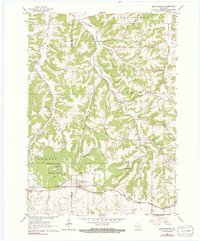
1962 Map of Blue Mounds
USGS Topo · Published 1991About this map
Blue Mounds State Park and the surrounding glacial-fringe landscape of the Iowa and Dane County border define this 1962 survey. The topography is dominated by the prominent peaks of Blue Mounds, which rise above a network of narrow valleys and ridges like Sand Ridge. The local economy of the early 1960s is evidenced by numerous quarries and the passage of the Chicago and North Western railroad along the southern edge of the quadrangle.
Find a feature on this map
31 named features on this map. Tap any name to fly to it.
Don’t see what you’re looking for? This feature index may not catch every label — zoom into the map to look around manually.
Map Details
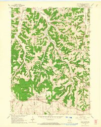
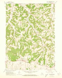
Editions of this 1962 Blue Mounds Map
3 editions found
Other maps of this area

1907 · Cross Plains
USGS Topo · 1:62,500

1909 · Cross Plains
USGS Topo · 1:62,500

1920 · Blue Mounds
USGS Topo · 1:62,500

1922 · Blue Mounds
USGS Topo · 1:62,500

1923 · Blanchardville
USGS Topo · 1:62,500

1923 · New Glarus
USGS Topo · 1:62,500

1954 · Rockford
USGS Topo · 1:250,000

1955 · Rockford
USGS Topo · 1:250,000

1957 · Madison
USGS Topo · 1:250,000

1958 · Rockford
USGS Topo · 1:250,000