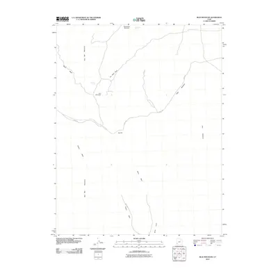
2010 Map of Blue Mountain
USGS Topo · Published 2010About this map
Iron Mountain and the surrounding high desert terrain of southwestern Utah are documented in this 2010 topographic survey. The landscape is defined by its drainage systems and isolated peaks, where Iron Mine Wash and Blawn Wash cut through the arid floor. The presence of Iron Mine Spring and Bumblebee Spring suggests the critical importance of water sources in this dry environment, while the proximity of Jockey Rd provides the primary access route through the eastern slopes of the Wah Wah Mountains.
Find a feature on this map
14 named features on this map. Tap any name to fly to it.
Don’t see what you’re looking for? This feature index may not catch every label — zoom into the map to look around manually.
Map Details
Editions of this 2010 Blue Mountain Map
This is the sole edition of this map. No revisions or reprints were ever made.
Other maps of this area

1953 · Richfield
USGS Topo · 1:250,000

1958 · Richfield
USGS Topo · 1:250,000

1959 · Frisco
USGS Topo · 1:62,500
1971 · Lund
USGS Topo · 1:24,000
1971 · Burns Knoll
USGS Topo · 1:24,000
1971 · Latimer
USGS Topo · 1:24,000
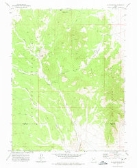
1971 · Blue Mountain
USGS Topo · 1:24,000
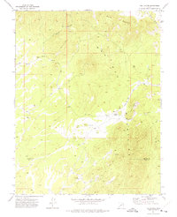
1971 · The Tetons
USGS Topo · 1:24,000

1971 · Lamerdorf Peak
USGS Topo · 1:24,000
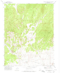
1972 · Mountain Spring Peak
USGS Topo · 1:24,000