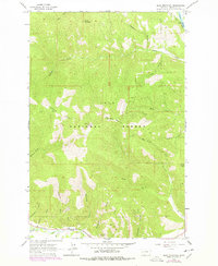
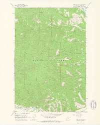
1964 Map of Blue Mountain
USGS Topo · Published 1978About this map
Lolo National Forest dominates this landscape southwest of Missoula, where the high peaks of Black Mountain and Blue Mountain define the drainage patterns of the northern Rockies. The map documents a rugged timber and resource landscape in the mid-1960s, punctuated by the Lookout Tower atop Blue Mountain and the industrial footprint of the Chickaman Mine near Chickaman Creek.
Find a feature on this map
30 named features on this map. Tap any name to fly to it.
Don’t see what you’re looking for? This feature index may not catch every label — zoom into the map to look around manually.
Map Details
Editions of this 1964 Blue Mountain Map
3 editions found
Other maps of this area

1912 · Missoula
USGS Topo · 1:125,000

1956 · Hamilton
USGS Topo · 1:250,000

1959 · Hamilton
USGS Topo · 1:250,000

1960 · Hamilton
USGS Topo · 1:250,000

1963 · Primrose
USGS Topo · 1:24,000

1964 · Hamilton
USGS Topo · 1:250,000
1964 · Diamond Point
USGS Topo · 1:24,000

1964 · Dick Creek
USGS Topo · 1:24,000
1964 · Northwest Missoula
USGS Topo · 1:24,000
1964 · Blue Mountain
USGS Topo · 1:24,000