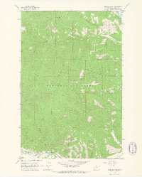
1964 Map of Blue Mountain
USGS Topo · Published 1967About this map
Lolo National Forest dominates this mid-1960s landscape southwest of Missoula, where the high ridges of Blue Mountain and Black Mountain overlook a complex network of drainage basins. The map illustrates a transition from the industrial valley floor near the Clark Fork to the high-elevation resource extraction and management areas typical of western Montana. Of particular interest to mining historians and local researchers is the Chickaman Mine located near Chickaman Creek, while genealogists can trace family-named features like Westerman Creek, Hollensteiner Gulch, and Anderson Gulch. Settlement patterns are sparsely concentrated along Lolo Creek, where Schoolhouse Gulch suggests the historical locations of early community centers. High-elevation points like the Lookout Tower on Blue Mountain highlight the forest management infrastructure of the era, connected by a network of trails and jeep trails through Grave Creek and Deadman Gulch.
Find a feature on this map
28 named features on this map. Tap any name to fly to it.
Don’t see what you’re looking for? This feature index may not catch every label — zoom into the map to look around manually.
Map Details
Editions of this 1964 Blue Mountain Map
3 editions found
Other maps of this area

1912 · Missoula
USGS Topo · 1:125,000

1956 · Hamilton
USGS Topo · 1:250,000

1959 · Hamilton
USGS Topo · 1:250,000

1960 · Hamilton
USGS Topo · 1:250,000

1963 · Primrose
USGS Topo · 1:24,000

1964 · Hamilton
USGS Topo · 1:250,000
1964 · Diamond Point
USGS Topo · 1:24,000

1964 · Dick Creek
USGS Topo · 1:24,000
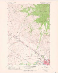
1964 · Northwest Missoula
USGS Topo · 1:24,000
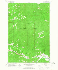
1964 · Camp Creek
USGS Topo · 1:24,000