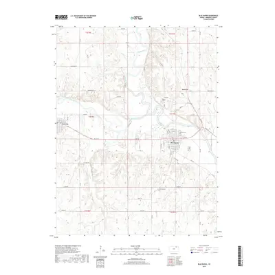
2018 Map of Blue Rapids
USGS Topo · Published 2018About this map
The confluence of the Big Blue River and the Little Blue River anchors this Marshall County landscape, where the settlements of Blue Rapids and Waterville sit just miles apart. The topography is defined by the carved river valleys and numerous tributary creeks like Elm Cr and Fawn Cr, creating a broken terrain that contrasts with the surrounding agricultural tablelands. Historically significant sites such as Alcove Spring provide a connection to the frontier era, while the grid of roads—including Valley Rd and Sunflower Rd—reveals the enduring section-line organization of the Kansas countryside. Local history is preserved in several burial grounds, including Fairmont Cem on the edge of Blue Rapids, Greenwood Cem to the south, and the well-placed Prospect Hill Cem. The presence of the Bestwall settlement further suggests the area's industrial or agricultural importance at the time of the survey.
Find a feature on this map
40 named features on this map. Tap any name to fly to it.
Don’t see what you’re looking for? This feature index may not catch every label — zoom into the map to look around manually.
Map Details
Editions of this 2018 Blue Rapids Map
This is the sole edition of this map. No revisions or reprints were ever made.
Other maps of this area

1889 · Marysville
USGS Topo · 1:125,000

1894 · Marysville
USGS Topo · 1:125,000

1955 · Manhattan
USGS Topo · 1:250,000

1956 · Manhattan
USGS Topo · 1:250,000

1957 · Manhattan
USGS Topo · 1:250,000

1966 · Marysville
USGS Topo · 1:24,000

1966 · Hanover SE
USGS Topo · 1:24,000

1966 · Home
USGS Topo · 1:24,000
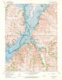
1968 · Blue Rapids SE
USGS Topo · 1:24,000
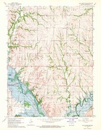
1968 · Blue Rapids NE
USGS Topo · 1:24,000