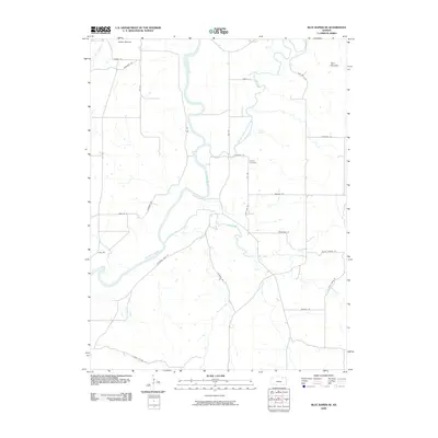
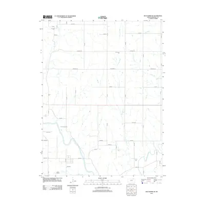
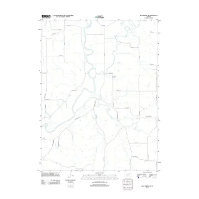
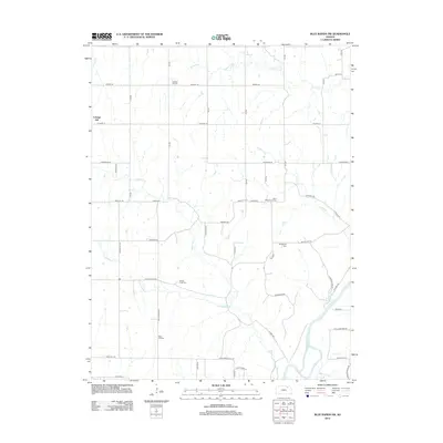
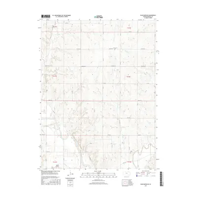
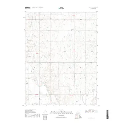
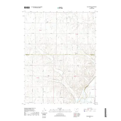
1968 Map of Blue Rapids NE
USGS Topo · Published 1969About this map
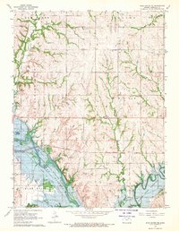
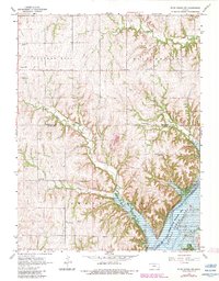
Tuttle Creek Reservoir dominates the southwestern landscape of Marshall County in the late 1960s, its shoreline cutting through the townships of Blue Rapids City and Bigelow. This area shows a transition from traditional agricultural patterns to managed conservation, evidenced by the Tuttle Creek State Wildlife Management Area bordering the water. The topographical detail reveals a complex network of drainage including Elm Creek and the meandering Black Vermillion River, which feeds into the reservoir system.
Find a feature on this map
27 named features on this map. Tap any name to fly to it.
Don’t see what you’re looking for? This feature index may not catch every label — zoom into the map to look around manually.
Map Details
Editions of this 1968 Blue Rapids NE Map
2 editions found
Historical Maps of Marshall County Through Time
30 maps found
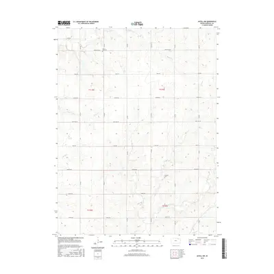
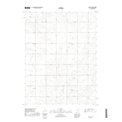
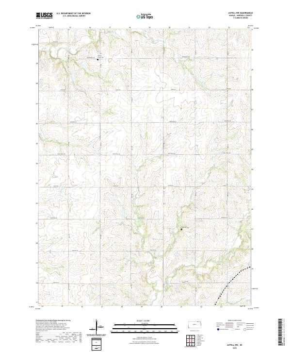
1966 Axtell NW
Marshall County, KS
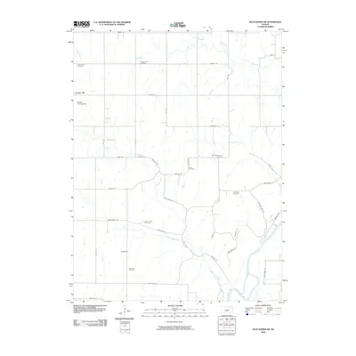
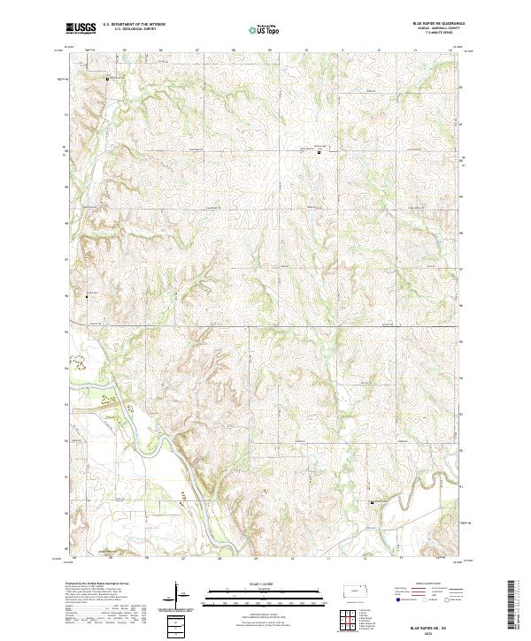
1968 Blue Rapids NE
Marshall County, KS
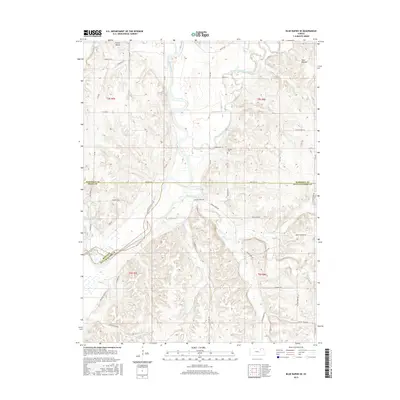
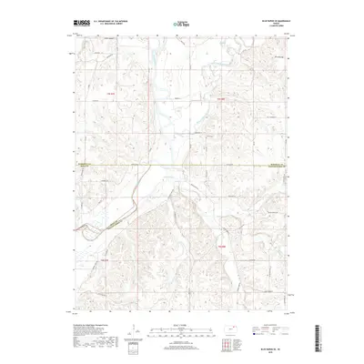
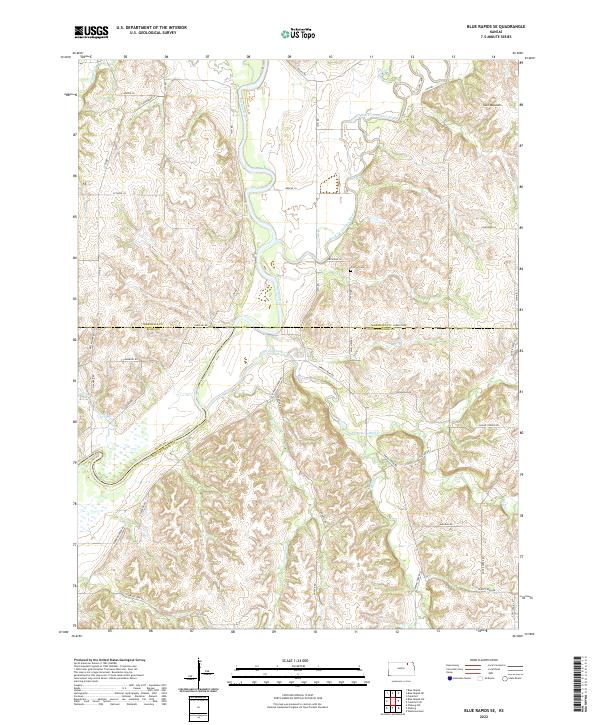
1968 Blue Rapids SE
Marshall County, KS
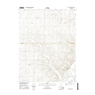
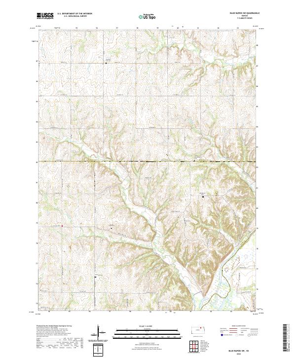
1968 Blue Rapids SW
Marshall County, KS
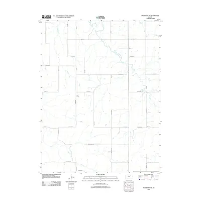
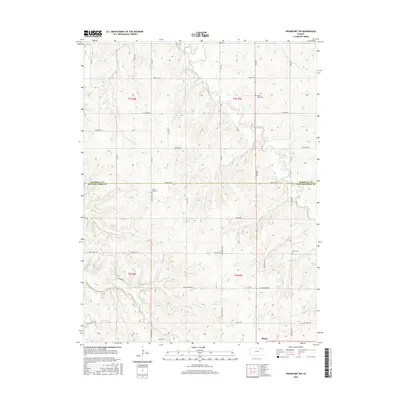
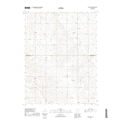
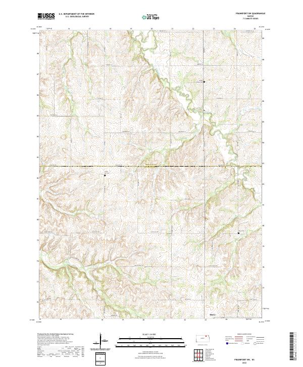
1969 Frankfort SW
Marshall County, KS
2009 Axtell NW
Marshall County, KS
2009 Blue Rapids NE
Marshall County, KS
2009 Blue Rapids SE
Marshall County, KS
2009 Blue Rapids SW
Marshall County, KS
2009 Frankfort SW
Marshall County, KS
2012 Axtell NW
Marshall County, KS
2012 Blue Rapids NE
Marshall County, KS
2012 Blue Rapids SE
Marshall County, KS
2012 Blue Rapids SW
Marshall County, KS
2012 Frankfort SW
Marshall County, KS
2015 Axtell NW
Marshall County, KS
2015 Blue Rapids NE
Marshall County, KS
2015 Blue Rapids SE
Marshall County, KS
2015 Blue Rapids SW
Marshall County, KS
2016 Frankfort SW
Marshall County, KS
2018 Axtell NW
Marshall County, KS
2018 Blue Rapids NE
Marshall County, KS
2018 Blue Rapids SE
Marshall County, KS
2018 Blue Rapids SW
Marshall County, KS
2018 Frankfort SW
Marshall County, KS
2022 Axtell NW
Marshall County, KS
2022 Blue Rapids NE
Marshall County, KS
2022 Blue Rapids SE
Marshall County, KS
2022 Blue Rapids SW
Marshall County, KS
2022 Frankfort SW
Marshall County, KS