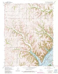
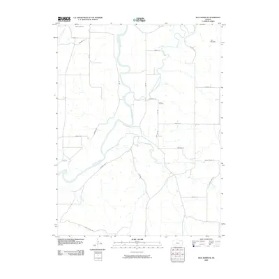
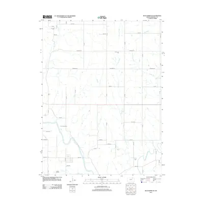
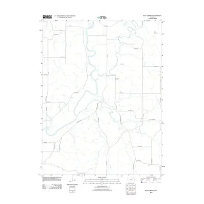
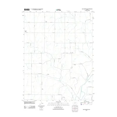
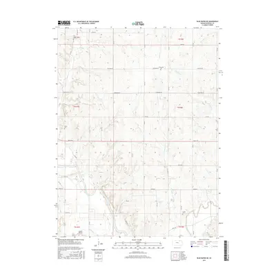
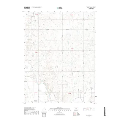
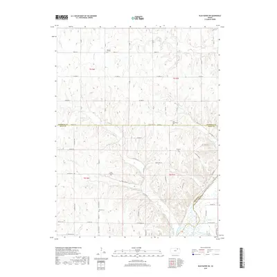
1968 Map of Blue Rapids NE
USGS Topo · Published 1983About this map
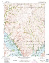
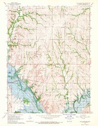
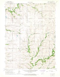
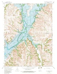
Blue Rapids sits at the western edge of this landscape, where the confluence of the Blue River and the Vermillion River is transformed by the waters of Tuttle Creek Lake. The map reveals a transition from the agricultural uplands of Elm Creek and Wells townships down to the managed riparian environment of the Tuttle Creek State Wildlife Area. This late 1960s survey preserves the locations of several rural landmarks, including the Pleasant Valley Sch and multiple burial grounds like Edinborough Cem and Seville Cem. Transportation patterns are clearly etched into the terrain, from the active Missouri Pacific line to an Old Railroad Grade and the Linch Landing Strip, showing how industry and infrastructure followed the natural river valleys of Marshall County.
Find a feature on this map
26 named features on this map. Tap any name to fly to it.
Don’t see what you’re looking for? This feature index may not catch every label — zoom into the map to look around manually.
Map Details
Editions of this 1968 Blue Rapids NE Map
2 editions found
Historical Maps of Marshall County Through Time
30 maps found
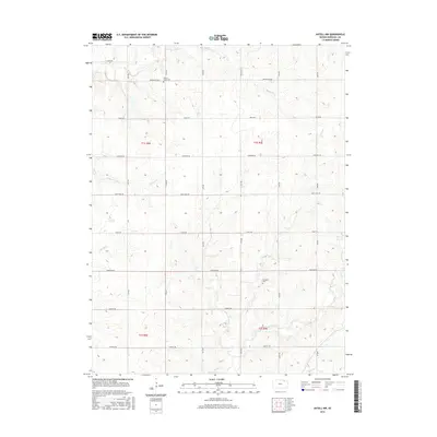
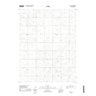
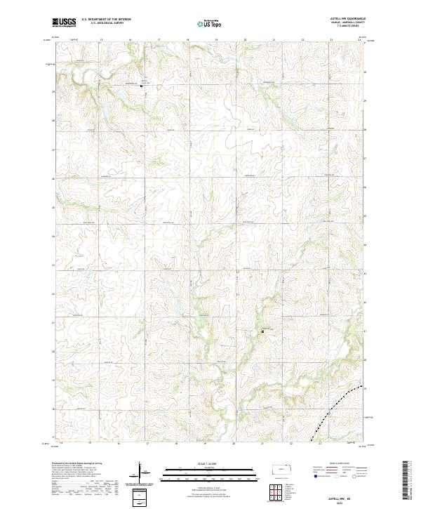
1966 Axtell NW
Marshall County, KS
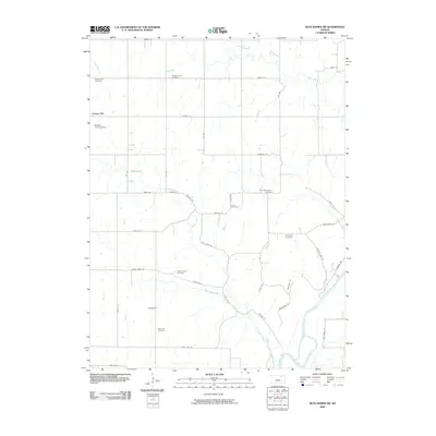
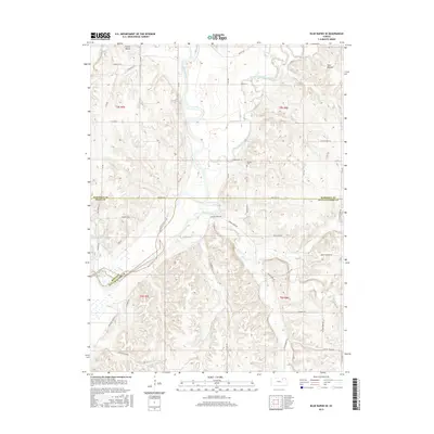
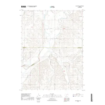
1968 Blue Rapids NE
Marshall County, KS
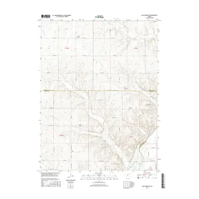
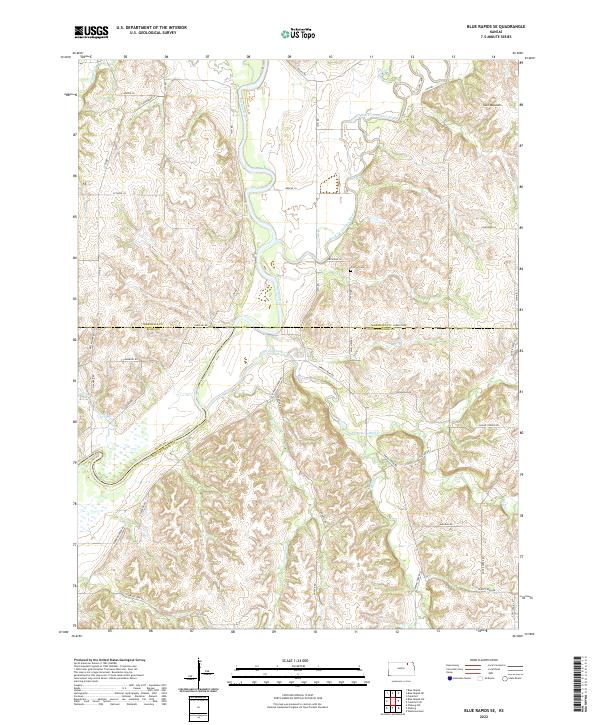
1968 Blue Rapids SE
Marshall County, KS
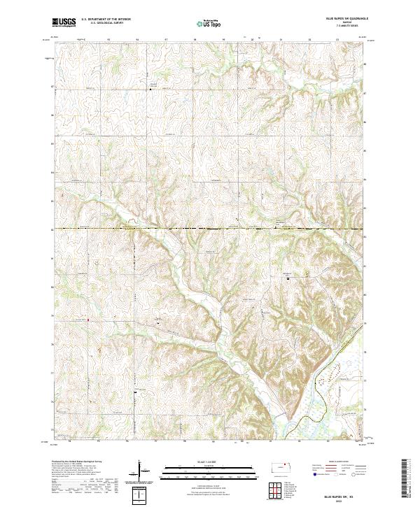
1968 Blue Rapids SW
Marshall County, KS
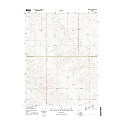
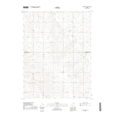
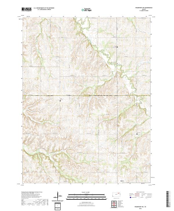
1969 Frankfort SW
Marshall County, KS
2009 Axtell NW
Marshall County, KS
2009 Blue Rapids NE
Marshall County, KS
2009 Blue Rapids SE
Marshall County, KS
2009 Blue Rapids SW
Marshall County, KS
2009 Frankfort SW
Marshall County, KS
2012 Axtell NW
Marshall County, KS
2012 Blue Rapids NE
Marshall County, KS
2012 Blue Rapids SE
Marshall County, KS
2012 Blue Rapids SW
Marshall County, KS
2012 Frankfort SW
Marshall County, KS
2015 Axtell NW
Marshall County, KS
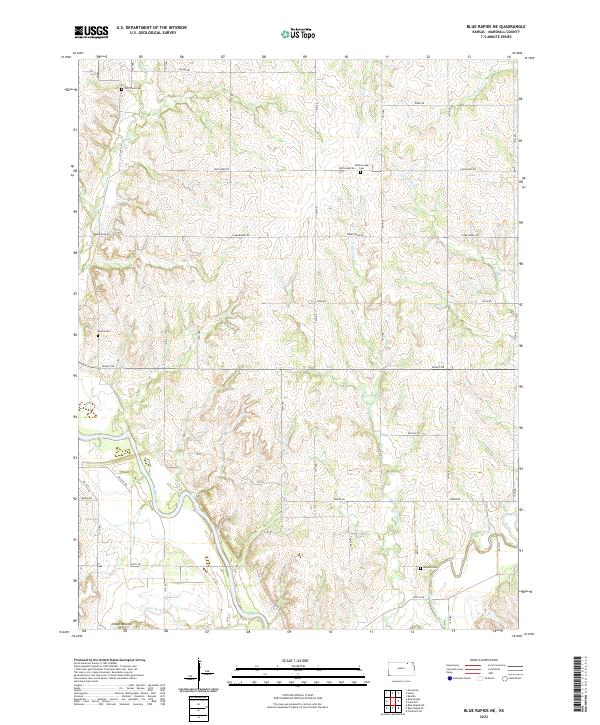
2015 Blue Rapids NE
Marshall County, KS
2015 Blue Rapids SE
Marshall County, KS
2015 Blue Rapids SW
Marshall County, KS
2016 Frankfort SW
Marshall County, KS
2018 Axtell NW
Marshall County, KS
2018 Blue Rapids NE
Marshall County, KS
2018 Blue Rapids SE
Marshall County, KS
2018 Blue Rapids SW
Marshall County, KS
2018 Frankfort SW
Marshall County, KS
2022 Axtell NW
Marshall County, KS
2022 Blue Rapids NE
Marshall County, KS
2022 Blue Rapids SE
Marshall County, KS
2022 Blue Rapids SW
Marshall County, KS
2022 Frankfort SW
Marshall County, KS