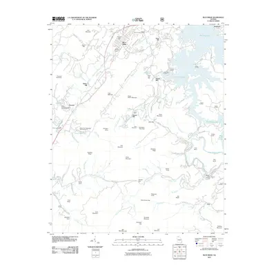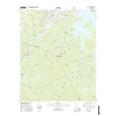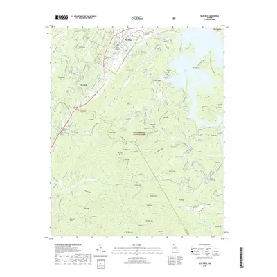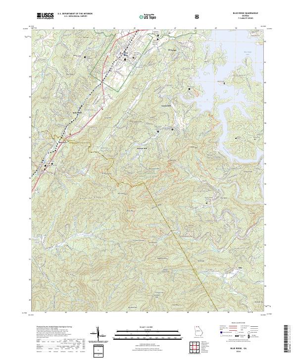
2024 Map of Blue Ridge
USGS Topo · Published 2024About this map
Blue Ridge serves as the focal point of this North Georgia mountain landscape, where the town’s streets like W Main St and E Second St meet the shoreline of Blue Ridge Lake. The terrain is defined by significant ridges such as Deadline Ridge and Bellcamp Ridge, which overlook a network of historic mill sites including Elrod Mill and Greens Mill. Genealogists will find a wealth of burial grounds scattered across the valleys, from the McKinney Cem in town to the Saint Lukes Episcopal Church Cem and the more remote Antioch Cemetary. Large tracts of the Chattahoochee National Forest and the Rich Mountain Wilderness preserve the area's wild character, while the Toccoa River and Stanley Creek flow through the southern gaps near the settlement of Aska.
Find a feature on this map
229 named features on this map. Tap any name to fly to it.
Don’t see what you’re looking for? This feature index may not catch every label — zoom into the map to look around manually.
Map Details
Editions of this 2024 Blue Ridge Map
This is the sole edition of this map. No revisions or reprints were ever made.
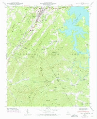
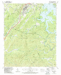
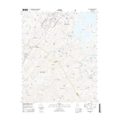
Historical Maps of Blue Ridge Through Time
7 maps found