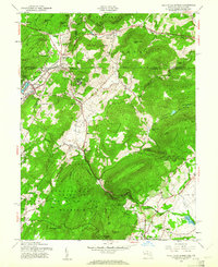
1953 Map of Blue Ridge Summit
USGS Topo · Published 1961About this map
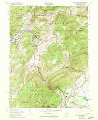
Blue Ridge Summit and the high-elevation resort settlements of the northern Blue Ridge Mountains define this 1953 landscape along the Pennsylvania-Maryland border. The rugged geography is marked by the presence of large institutional and military footprints, including the sprawling Victor Cullen State Hospital and Fort Ritchie Mil Res. The Western Maryland railroad winds through steep gaps, passing the Jack Mountain Tunnel to serve communities like Highfield, Cascade, and Sabillasville. To the south, the Catoctin Recreational Demonstration Area preserves the wilderness around Cunningham Falls and Hunting Creek. This era captures the region as a primary mountain retreat and strategic military corridor, with small rural nodes like Foxville and Fountain Dale connected by MD. 77 and MD. 81 through the gaps of Piney Mountain and Jack Mountain.
Find a feature on this map
74 named features on this map. Tap any name to fly to it.
Don’t see what you’re looking for? This feature index may not catch every label — zoom into the map to look around manually.
Map Details
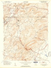
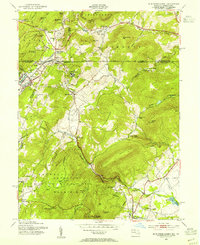
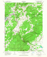
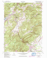
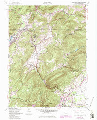
Editions of this 1953 Blue Ridge Summit Map
7 editions found
Other maps of this area

1902 · Chambersburg
USGS Topo · 1:62,500

1909 · Fairfield
USGS Topo · 1:62,500

1909 · Hagerstown
USGS Topo · 1:48,000

1911 · Emmitsburg
USGS Topo · 1:62,500

1912 · Hagerstown
USGS Topo · 1:62,500

1942 · Hagerstown
USGS Topo · 1:125,000

1942 · Gettysburg
USGS Topo · 1:125,000

1943 · Emmitsburg
USGS Topo · 1:62,500

1943 · Hagerstown
USGS Topo · 1:125,000

1943 · Chambersburg
USGS Topo · 1:62,500
Featured Places
- Thurmont, MD
- Carroll Valley, PA
- Highfield-Cascade, MD
- Blue Ridge Summit, Washington Township
- Sabillasville, MD