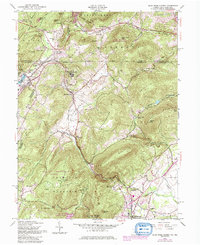
1953 Map of Blue Ridge Summit
USGS Topo · Published 1986About this map
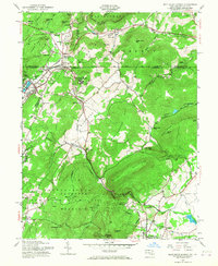
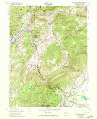
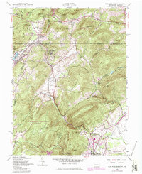
Catoctin Mountain and the borderlands of the Mason and Dixon Line define this mid-century view of the Maryland and Pennsylvania boundary. The area's character is shaped by institutional and military footprints, notably the Victor Cullen State Hospital and Fort Ritchie Mil Res. Local life centers around small communities like Blue Ridge Summit and Sabillasville, which were served by the Western Maryland RR as it navigated through the Jacks Mountain Tunnel.
Find a feature on this map
70 named features on this map. Tap any name to fly to it.
Don’t see what you’re looking for? This feature index may not catch every label — zoom into the map to look around manually.
Map Details
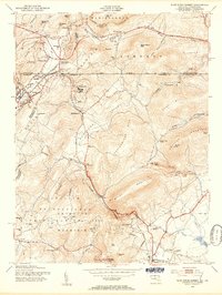
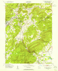
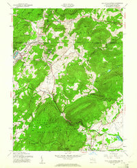
Editions of this 1953 Blue Ridge Summit Map
7 editions found
Other maps of this area

1902 · Chambersburg
USGS Topo · 1:62,500

1909 · Fairfield
USGS Topo · 1:62,500

1909 · Hagerstown
USGS Topo · 1:48,000

1911 · Emmitsburg
USGS Topo · 1:62,500

1912 · Hagerstown
USGS Topo · 1:62,500

1942 · Hagerstown
USGS Topo · 1:125,000

1942 · Gettysburg
USGS Topo · 1:125,000

1943 · Emmitsburg
USGS Topo · 1:62,500

1943 · Hagerstown
USGS Topo · 1:125,000

1943 · Chambersburg
USGS Topo · 1:62,500
Featured Places
- Thurmont, MD
- Carroll Valley, PA
- Highfield-Cascade, MD
- Blue Ridge Summit, Washington Township
- Sabillasville, MD