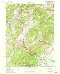
1953 Map of Blue Ridge Summit
USGS Topo · Published 1972About this map
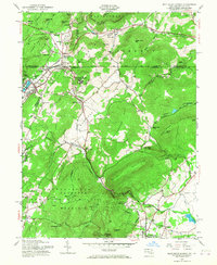
The Mason and Dixon Line bisects this mountainous region, marking the border between Pennsylvania and Maryland. The landscape is dominated by the Catoctin Recreational Area and the dramatic slopes of Catoctin Mountain, where Cunningham Falls and Wolf Rock stand as prominent landmarks. The rail-and-resort economy of the era is evident in the cluster of hilltop communities like Blue Ridge Summit and Monterey, which grew around the Western Maryland RR as it navigated the difficult terrain via the Jacks Mountain Tunnel.
Find a feature on this map
81 named features on this map. Tap any name to fly to it.
Don’t see what you’re looking for? This feature index may not catch every label — zoom into the map to look around manually.
Map Details
Editions of this 1953 Blue Ridge Summit Map
7 editions found
Other maps of this area

1902 · Chambersburg
USGS Topo · 1:62,500

1909 · Fairfield
USGS Topo · 1:62,500

1909 · Hagerstown
USGS Topo · 1:48,000

1911 · Emmitsburg
USGS Topo · 1:62,500

1912 · Hagerstown
USGS Topo · 1:62,500

1942 · Hagerstown
USGS Topo · 1:125,000

1942 · Gettysburg
USGS Topo · 1:125,000

1943 · Emmitsburg
USGS Topo · 1:62,500

1943 · Hagerstown
USGS Topo · 1:125,000

1943 · Chambersburg
USGS Topo · 1:62,500
Featured Places
- Thurmont, MD
- Carroll Valley, PA
- Highfield-Cascade, MD
- Blue Ridge Summit, Washington Township
- Sabillasville, MD