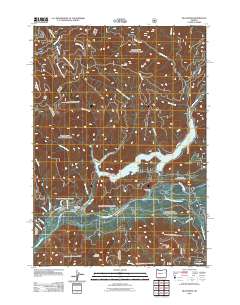
2011 Map of Blue River
USGS Topo · Published 2011About this map
Blue River serves as the focal point of this landscape, situated at the junction of several critical waterways in the Cascade Range. The community is anchored by the Blue River Post Office, located just north of where the McKenzie River flows through the southern portion of the quadrangle. The dominant feature of the central terrain is Blue River Lake, a reservoir fed by numerous drainages including Quartz Creek and Simmonds Creek.
Find a feature on this map
41 named features on this map. Tap any name to fly to it.
Don’t see what you’re looking for? This feature index may not catch every label — zoom into the map to look around manually.
Map Details
Editions of this 2011 Blue River Map
This is the sole edition of this map. No revisions or reprints were ever made.
Other maps of this area

1934 · Mc Kenzie Bridge
USGS Topo · 1:96,000

1940 · Mc Kenzie Bridge
USGS Topo · 1:125,000

1953 · Salem
USGS Topo · 1:250,000

1954 · Salem
USGS Topo · 1:250,000

1955 · Blue River
USGS Topo · 1:62,500

1955 · Cascadia
USGS Topo · 1:62,500

1955 · Echo Mountain
USGS Topo · 1:62,500

1955 · Mc Kenzie Bridge
USGS Topo · 1:62,500

1960 · Salem
USGS Topo · 1:250,000

1962 · Salem
USGS Topo · 1:250,000