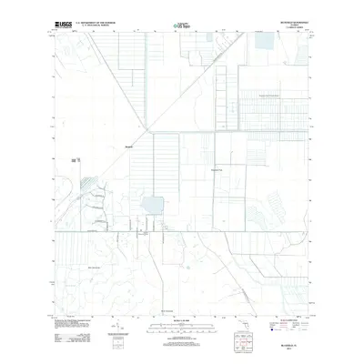
2012 Map of Bluefield
USGS Topo · Published 2012About this map
Allapattah Flats dominates this portion of Martin County, where the landscape is defined by a rigorous grid of drainage canals and agricultural divisions typical of South Florida's managed wetlands. The small settlement of Bluefield serves as a central point in a territory characterized by significant groves and flatwood hammocks, including Boar Hammock and Myer Hammock. The prevalence of named rural lanes such as Wild Turkey Ln, Sw Buckskin Ave, and Sw Deer Run Ave suggests a residential pattern woven into the larger agricultural and ranching operations. To the northeast, the Southern Fruit Groves Airport highlights the region's historical reliance on aviation for crop management. Along the southern corridor near Sw Martin Hwy, the Dunklin Memorial Camp stands as a notable community landmark amid the surrounding reaches of Myrtle Slough.
Find a feature on this map
20 named features on this map. Tap any name to fly to it.
Don’t see what you’re looking for? This feature index may not catch every label — zoom into the map to look around manually.
Map Details
Editions of this 2012 Bluefield Map
This is the sole edition of this map. No revisions or reprints were ever made.
Other maps of this area

1953 · Okeechobee 4 SW
USGS Topo · 1:24,000

1953 · Okeechobee 4 SE
USGS Topo · 1:24,000

1953 · Okeechobee 1 SE
USGS Topo · 1:24,000

1953 · Okeechobee 4 NE
USGS Topo · 1:24,000

1953 · Okeechobee 4 NW
USGS Topo · 1:24,000

1953 · Okeechobee 1 SW
USGS Topo · 1:24,000

1953 · Indian Town NW
USGS Topo · 1:24,000

1953 · Fort Pierce SW
USGS Topo · 1:24,000

1953 · Indian Town
USGS Topo · 1:24,000

1956 · Fort Pierce
USGS Topo · 1:250,000