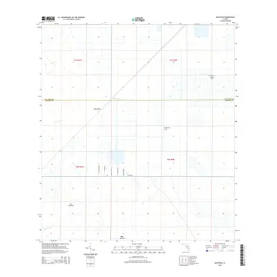
2015 Map of Bluefield
USGS Topo · Published 2015About this map
Bluefield occupies a landscape defined by the transition from agricultural groves to the expansive wetlands of the Allapattah Flats. This interior Florida terrain is marked by a network of drainage features, including the County Line Canal which separates St. Lucie and Martin Counties, and the Myrtle Slough to the south. The area reflects a specific pattern of rural development, where residential lanes with names like SW Buckskin Ave, SW Deer Run, and SW Quail Covey Ave meet the industrial scale of the citrus industry. The presence of the Southern Fruit Groves Airport underscore the significance of large-scale fruit production in this corridor. Hammocks such as Boar Hammock and Myer Hammock emerge as higher-ground landmarks amidst the low-lying flats, illustrating the historical importance of these topographical rises for navigation and localized land use in the Everglades ecosystem.
Find a feature on this map
18 named features on this map. Tap any name to fly to it.
Don’t see what you’re looking for? This feature index may not catch every label — zoom into the map to look around manually.
Map Details
Editions of this 2015 Bluefield Map
This is the sole edition of this map. No revisions or reprints were ever made.
Other maps of this area

1953 · Okeechobee 4 SW
USGS Topo · 1:24,000

1953 · Okeechobee 4 SE
USGS Topo · 1:24,000

1953 · Okeechobee 1 SE
USGS Topo · 1:24,000

1953 · Okeechobee 4 NE
USGS Topo · 1:24,000

1953 · Okeechobee 4 NW
USGS Topo · 1:24,000

1953 · Okeechobee 1 SW
USGS Topo · 1:24,000

1953 · Indian Town NW
USGS Topo · 1:24,000

1953 · Fort Pierce SW
USGS Topo · 1:24,000

1953 · Indian Town
USGS Topo · 1:24,000

1956 · Fort Pierce
USGS Topo · 1:250,000