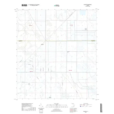
2018 Map of Bluefield
USGS Topo · Published 2018About this map
Bluefield occupies a landscape defined by the drainage patterns and citrus operations of the Treasure Coast hinterlands. The geography is characterized by the transition between the Allapattah Flats and the intricate network of the County Line Canal, which marks the boundary between St. Lucie and Martin counties. This 2018 survey reveals a rural infrastructure built around large-scale agriculture, notably the Southern Fruit Groves Airport and the straightened waterways like Myrtle Slough. The naming conventions for the local road network, including SW Buckskin Ave and SW Deer Run, reflect the area's identity as a hub for hunting and equestrian interests. Significant natural features like Boar Hammock and Myer Hammock offer higher ground among the low-lying wetlands, providing essential orientation points in this flat, canal-crossed terrain.
Find a feature on this map
20 named features on this map. Tap any name to fly to it.
Don’t see what you’re looking for? This feature index may not catch every label — zoom into the map to look around manually.
Map Details
Editions of this 2018 Bluefield Map
This is the sole edition of this map. No revisions or reprints were ever made.
Other maps of this area

1953 · Okeechobee 4 SW
USGS Topo · 1:24,000

1953 · Okeechobee 4 SE
USGS Topo · 1:24,000

1953 · Okeechobee 1 SE
USGS Topo · 1:24,000

1953 · Okeechobee 4 NE
USGS Topo · 1:24,000

1953 · Okeechobee 4 NW
USGS Topo · 1:24,000

1953 · Okeechobee 1 SW
USGS Topo · 1:24,000

1953 · Indian Town NW
USGS Topo · 1:24,000

1953 · Fort Pierce SW
USGS Topo · 1:24,000

1953 · Indian Town
USGS Topo · 1:24,000

1956 · Fort Pierce
USGS Topo · 1:250,000