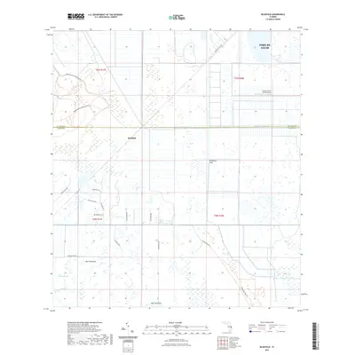
2021 Map of Bluefield
USGS Topo · Published 2021About this map
Allapattah Flats dominates this modern topographical study of the interior marshlands along the border of Martin and St. Lucie counties. The landscape is a network of water management and rural transition, defined by the long horizontal of the County Line Canal and the erratic path of Myrtle Slough to the south. Small hammock settlements like Boar Hammock and Myer Hammock stand as discrete elevations in the wetlands, while the unincorporated community of Bluefield serves as a central landmark for this sparsely populated region. Human infrastructure is marked by agricultural interests and conservation efforts, seen in the Southern Fruit Groves Airport and various recreational paths such as the Bluefield Ranch Preserve Trl and the Allapattah Flats Trl. The map also captures the western expansion of Port St. Lucie into these rural territories, where the grid of named rural roads like SW Dunklin Ave and SW Fox Brown Rd provides a detailed framework for local land use.
Find a feature on this map
25 named features on this map. Tap any name to fly to it.
Don’t see what you’re looking for? This feature index may not catch every label — zoom into the map to look around manually.
Map Details
Editions of this 2021 Bluefield Map
This is the sole edition of this map. No revisions or reprints were ever made.
Other maps of this area

1953 · Okeechobee 4 SW
USGS Topo · 1:24,000

1953 · Okeechobee 4 SE
USGS Topo · 1:24,000

1953 · Okeechobee 1 SE
USGS Topo · 1:24,000

1953 · Okeechobee 4 NE
USGS Topo · 1:24,000

1953 · Okeechobee 4 NW
USGS Topo · 1:24,000

1953 · Okeechobee 1 SW
USGS Topo · 1:24,000

1953 · Indian Town NW
USGS Topo · 1:24,000

1953 · Fort Pierce SW
USGS Topo · 1:24,000

1953 · Indian Town
USGS Topo · 1:24,000

1956 · Fort Pierce
USGS Topo · 1:250,000