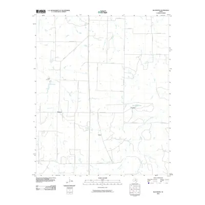
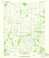
2010 Map of Bluegrove
USGS Topo · Published 2010About this map
Bluegrove anchors this landscape in Clay County, where the agricultural grid is defined by a network of ranch and farm roads. The hydrology of the region is centered on the forks of the Little Wichita, specifically the Dry Fork Little Wichita River and the East Fork Little Wichita River. Human-made water management is evident in the presence of Fields Lake and Near Pipeline Lake, both supported by their respective dams.
Find a feature on this map
33 named features on this map. Tap any name to fly to it.
Don’t see what you’re looking for? This feature index may not catch every label — zoom into the map to look around manually.
Map Details
Editions of this 2010 Bluegrove Map
This is the sole edition of this map. No revisions or reprints were ever made.
Other maps of this area

1954 · Wichita Falls
USGS Topo · 1:250,000

1956 · Henrietta
USGS Topo · 1:62,500

1957 · Wichita Falls East
USGS Topo · 1:62,500

1958 · Wichita Falls
USGS Topo · 1:250,000

1963 · Deer Creek
USGS Topo · 1:24,000
1963 · Vashti
USGS Topo · 1:24,000

1964 · Scotland SE
USGS Topo · 1:24,000
1964 · Joy
USGS Topo · 1:24,000
1968 · Bellevue
USGS Topo · 1:24,000
1968 · Bluegrove
USGS Topo · 1:24,000