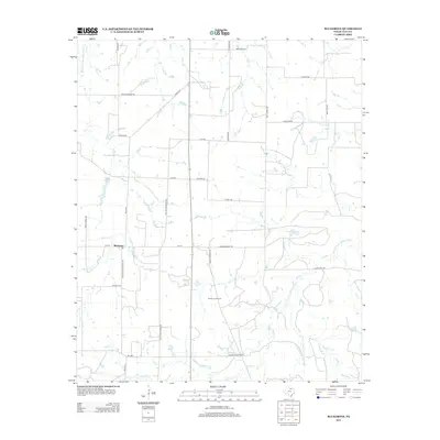
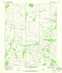
2012 Map of Bluegrove
USGS Topo · Published 2012About this map
Bluegrove anchors this Clay County landscape, where the agricultural traditions of North Texas meet the industrial footprint of the Bluegrove Oil Field. The terrain is defined by the winding paths of the Dry Fork Little Wichita River and the E Fork Little Wichita River, which create a complex drainage network across the prairie. Small water bodies like Fields Lake and Near Pipeline Lake dot the area, often situated near cattle guards and rural ranch roads. For those researching local family history, the Bluegrove Cem serves as a primary waypoint on the outskirts of the settlement. The map reveals a grid of namesake roads such as Sanzenbacher Rd, Bullinger Rd, and Freddie Moore Rd, reflecting the deep-rooted ranching and farming lineages that have shaped this portion of the Texas plains.
Find a feature on this map
34 named features on this map. Tap any name to fly to it.
Don’t see what you’re looking for? This feature index may not catch every label — zoom into the map to look around manually.
Map Details
Editions of this 2012 Bluegrove Map
This is the sole edition of this map. No revisions or reprints were ever made.
Other maps of this area

1954 · Wichita Falls
USGS Topo · 1:250,000

1956 · Henrietta
USGS Topo · 1:62,500

1957 · Wichita Falls East
USGS Topo · 1:62,500

1958 · Wichita Falls
USGS Topo · 1:250,000

1963 · Deer Creek
USGS Topo · 1:24,000
1963 · Vashti
USGS Topo · 1:24,000

1964 · Scotland SE
USGS Topo · 1:24,000
1964 · Joy
USGS Topo · 1:24,000
1968 · Bellevue
USGS Topo · 1:24,000
1968 · Bluegrove
USGS Topo · 1:24,000