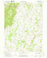
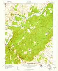
1970 Map of Bluemont
USGS Topo · Published 1979About this map
Bluemont sits at the base of the Blue Ridge near Snickers Gap, serving as a focal point for this 1970s look at Loudoun County's horse country and rural ridges. The landscape is defined by the Appalachian Trail following the crest along the Clarke Co Loudoun Co boundary, while the rolling valley below is dotted with several small crossroads and agrarian settlements. Local history is anchored by numerous community landmarks, from the Banneker Sch and Mt Zion Ch in the south to Ebenezer Ch and the Middleburg Training Track. The drainage patterns of Dog Branch and Beaverdam Creek illustrate the traditional layout of the Virginia Piedmont, where farms and estates like the Foxcroft Sch were established long before the suburban expansions of later decades.
Find a feature on this map
34 named features on this map. Tap any name to fly to it.
Don’t see what you’re looking for? This feature index may not catch every label — zoom into the map to look around manually.
Map Details
Editions of this 1970 Bluemont Map
4 editions found
Other maps of this area

1884 · Harpers Ferry
USGS Topo · 1:125,000

1891 · Harpers Ferry
USGS Topo · 1:125,000

1893 · Harpers Ferry
USGS Topo · 1:125,000

1894 · Warrenton
USGS Topo · 1:125,000

1916 · Berryville
USGS Topo · 1:62,500

1933 · Middleburg
USGS Topo · 1:62,500

1939 · Berryville
USGS Topo · 1:48,000

1943 · Bluemont
USGS Topo · 1:24,000
1943 · Ashby Gap
USGS Topo · 1:24,000

1943 · Upperville
USGS Topo · 1:24,000