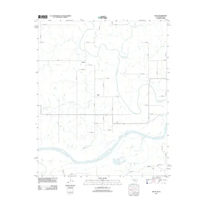
2012 Map of Bluff
USGS Topo · Published 2012About this map
The low-lying plains of Choctaw County are defined here by a dense network of meandering waterways, most notably Muddy Boggy Cr and its various tributaries including Bokchito Cr, Lick Cr, and Crooked Cr. This 2012 survey illustrates the rural landscape surrounding the small settlements of Bluff and Duland, characterized by a grid-like system of section roads such as n4120 RD and e2100 RD. To the south, the terrain shifts towards the broader river valley where Palmer Lake and Dead Man Br are situated near the community of Razor. Genealogists will find significant value in the location of several burial sites, including Bluff Cem, New Macedonia Cem, and Reid Cem, which provide geographic anchors for local family histories in this corner of southeastern Oklahoma near the Texas border.
Find a feature on this map
42 named features on this map. Tap any name to fly to it.
Don’t see what you’re looking for? This feature index may not catch every label — zoom into the map to look around manually.
Map Details
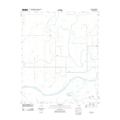
Editions of this 2012 Bluff Map
2 editions found
Other maps of this area

1901 · Antlers
USGS Topo · 1:125,000

1903 · Paris
USGS Topo · 1:125,000

1912 · Antlers
USGS Topo · 1:125,000

1925 · Antlers
USGS Topo · 1:125,000

1948 · Grant
USGS Topo · 1:62,500

1948 · Direct
USGS Topo · 1:62,500

1949 · Direct
USGS Topo · 1:62,500

1949 · Grant
USGS Topo · 1:62,500

1950 · Mcalester
USGS Topo · 1:250,000

1953 · Texarkana
USGS Topo · 1:250,000