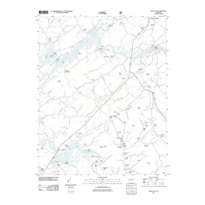
2011 Map of Bluff City
USGS Topo · Published 2011About this map
Boone Lake dominates the central landscape of this Tennessee survey, its winding shoreline and numerous docks such as Tri-City Dock and Sportsman Dock indicating a region shaped by managed waterways. The Watauga River flows through the southern portion of the quadrangle, passing notable landforms like Saylor Island and Hodge Island. Settlement patterns are concentrated around Bluff City and the historic Rocky Mount area, with the Piney Flats Post Office serving as a local hub.
Find a feature on this map
138 named features on this map. Tap any name to fly to it.
Don’t see what you’re looking for? This feature index may not catch every label — zoom into the map to look around manually.
Map Details
Editions of this 2011 Bluff City Map
This is the sole edition of this map. No revisions or reprints were ever made.
Other maps of this area

1891 · Roan Mountain
USGS Topo · 1:125,000

1894 · Roan Mountain
USGS Topo · 1:125,000

1897 · Bristol
USGS Topo · 1:125,000

1902 · Bristol
USGS Topo · 1:125,000

1904 · Roan Mountain
USGS Topo · 1:125,000
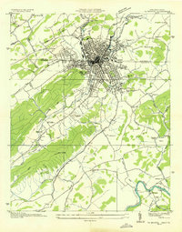
1934 · Bristol
USGS Topo · 1:24,000
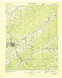
1935 · Watauga Valley
USGS Topo · 1:48,000
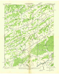
1935 · Blountville
USGS Topo · 1:24,000
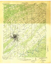
1935 · Beaver Creek
USGS Topo · 1:48,000
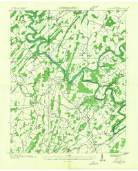
1935 · Spurgeon
USGS Topo · 1:24,000