2022 Map of Bluff City
USGS Topo · Published 2022About this map
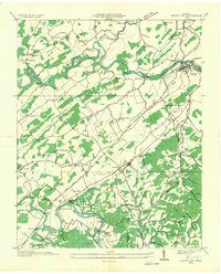
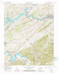
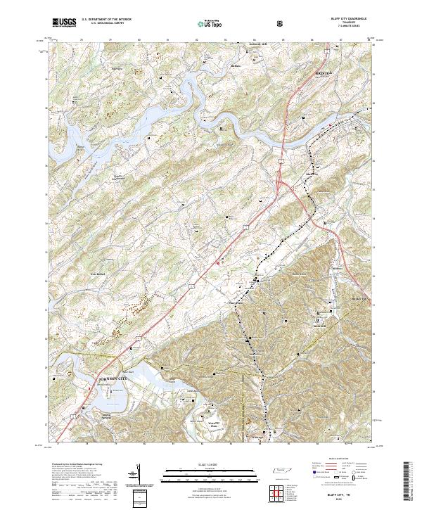
Boone Lake and the winding course of the South Fork Holston River define this corner of East Tennessee, where the waters of the Watauga River converge at Watauga Flats. The landscape is a dense network of family heritage and early settlements, characterized by numerous small burial grounds such as Buffalo Christian Church Cem and the Holston Grove Cem. The map illustrates the transition from the upland ridges of Letcher Ridge and Poplar Ridge to the valley floors where industrial sites like Galloway Mill once utilized the local waterways. Significant transportation routes like the Elizabethton Hwy and Bluff City Hwy connect Bluff City with nearby Piney Flats, revealing a pattern of development that follows the contours of the South Fork Holston River valley.
Find a feature on this map
112 named features on this map. Tap any name to fly to it.
Don’t see what you’re looking for? This feature index may not catch every label — zoom into the map to look around manually.
Map Details
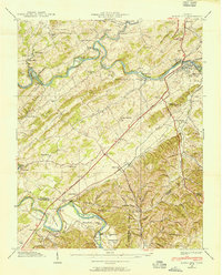
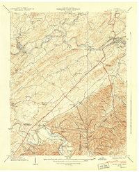
Editions of this 2022 Bluff City Map
This is the sole edition of this map. No revisions or reprints were ever made.
Historical Maps of Austin Springs Through Time
5 maps found