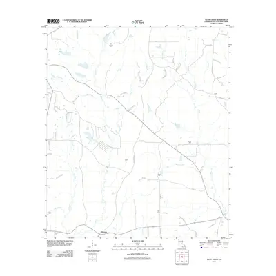
2012 Map of Bluff Creek
USGS Topo · Published 2012About this map
Blairstown sits at the southern edge of this landscape in East Feliciana Parish, where a dense network of bayous and creeks defines the local geography. The map illustrates a rural territory shaped by the winding courses of Bluff Cr and Sandy Cr, which are fed by numerous smaller tributaries such as McQuinney Br and Cobb Br. A significant concentration of family and community burial grounds, including Booker Cem, Gilead Cem, and New Zion Cem, suggests a long-established rural population with deep roots in the parish. The road network, featuring routes like Old Plank Rd and Gilead Rd, reflects the historical paths between these small settlements and agricultural lands. The presence of Fire Tower Ln indicates the managed forestry and fire monitoring efforts that have historically been vital to this wooded region of Louisiana.
Find a feature on this map
74 named features on this map. Tap any name to fly to it.
Don’t see what you’re looking for? This feature index may not catch every label — zoom into the map to look around manually.
Map Details
Editions of this 2012 Bluff Creek Map
This is the sole edition of this map. No revisions or reprints were ever made.
Other maps of this area

1906 · Bayou Sara
USGS Topo · 1:125,000

1939 · Zachary
USGS Topo · 1:62,500

1941 · Woodland
USGS Topo · 1:31,680

1941 · Norwood
USGS Topo · 1:31,680

1941 · Gilead
USGS Topo · 1:31,680

1941 · Chipola
USGS Topo · 1:31,680

1942 · Pine Grove
USGS Topo · 1:31,680

1942 · Pride
USGS Topo · 1:31,680

1942 · Gilead
USGS Topo · 1:31,680

1945 · Norwood
USGS Topo · 1:31,680