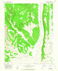
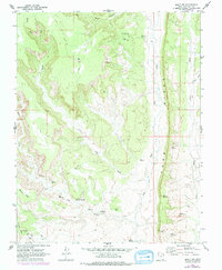
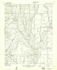
1962 Map of Bluff NW
USGS Topo · Published 1963About this map
Cliff dwellings and ancient Ruins characterize the high desert canyons of San Juan County in the early 1960s. The landscape is dominated by the dramatic verticality of Comb Ridge, which runs north-south and separates the drainage of Comb Wash from Butler Wash. This survey documents a complex network of archaeological sites situated within the sandstone alcoves of Mule Canyon, Fish Creek, and the surrounding mesas.
Find a feature on this map
21 named features on this map. Tap any name to fly to it.
Don’t see what you’re looking for? This feature index may not catch every label — zoom into the map to look around manually.
Map Details
Editions of this 1962 Bluff NW Map
2 editions found
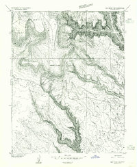
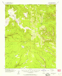
Other maps of this area

1886 · Abajo
USGS Topo · 1:250,000

1892 · Abajo
USGS Topo · 1:250,000

1893 · Abajo
USGS Topo · 1:250,000

1935 · Elk Ridge
USGS Topo · 1:96,000

1940 · Elk Ridge
USGS Topo · 1:125,000
1954 · Elk Ridge 3 SE
USGS Topo · 1:24,000
1954 · Bears Ears
USGS Topo · 1:62,500

1956 · Cortez
USGS Topo · 1:250,000
1957 · Elk Ridge 4 SE
USGS Topo · 1:24,000
1957 · Brushy Basin Wash
USGS Topo · 1:62,500