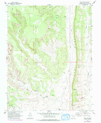
1962 Map of Bluff NW
USGS Topo · Published 1978About this map
Comb Ridge dominates this landscape, forming a dramatic geologic spine that separates the drainage systems of Comb Wash and Butler Wash. In the early 1960s, this area of San Juan County was documented with a focus on its remarkable archaeological density, revealing numerous Cliff Dwelling sites and scattered Ruins tucked into the alcoves of Fish Creek and Mule Canyon. The map illustrates a prehistoric residential pattern concentrated along the vertical sandstone breaks, often found near permanent water sources like Sweet Springs.
Find a feature on this map
38 named features on this map. Tap any name to fly to it.
Don’t see what you’re looking for? This feature index may not catch every label — zoom into the map to look around manually.
Map Details
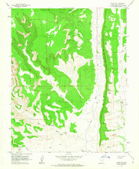
Editions of this 1962 Bluff NW Map
2 editions found
Other maps of this area

1886 · Abajo
USGS Topo · 1:250,000

1892 · Abajo
USGS Topo · 1:250,000

1893 · Abajo
USGS Topo · 1:250,000

1935 · Elk Ridge
USGS Topo · 1:96,000

1940 · Elk Ridge
USGS Topo · 1:125,000

1954 · Elk Ridge 3 SE
USGS Topo · 1:24,000

1954 · Bears Ears
USGS Topo · 1:62,500

1956 · Cortez
USGS Topo · 1:250,000

1957 · Elk Ridge 4 SE
USGS Topo · 1:24,000

1957 · Brushy Basin Wash
USGS Topo · 1:62,500