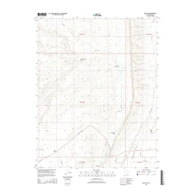
2014 Map of Bluff SW
USGS Topo · Published 2014About this map
Lime Ridge and the dramatic topography of Tank Mesa dominate this high-desert landscape of San Juan County during the early 2010s. The region is defined by a series of deep drainages, including Butler Wash and Comb Wash, which have carved significant features like Road Canyon and Snake Canyon into the plateau. In the south, the Bluff Airport sits near the junction of Us-163 and Co Road 269A Bluff Airport, providing a modern transport link to this remote area. Cultural and natural markers like Navajo Spring and the rugged path of Snow Flat Rd offer insights into the historical use of the land, while Lime Creek Rd and Comb Ridge Rd trace the corridor of the prominent north-south ridge lines that shape travel and settlement patterns in this part of Utah.
Find a feature on this map
26 named features on this map. Tap any name to fly to it.
Don’t see what you’re looking for? This feature index may not catch every label — zoom into the map to look around manually.
Map Details
Editions of this 2014 Bluff SW Map
This is the sole edition of this map. No revisions or reprints were ever made.
Other maps of this area

1886 · Abajo
USGS Topo · 1:250,000

1892 · Abajo
USGS Topo · 1:250,000

1893 · Abajo
USGS Topo · 1:250,000

1956 · Cortez
USGS Topo · 1:250,000

1958 · Cortez
USGS Topo · 1:250,000

1959 · Cortez
USGS Topo · 1:250,000

1962 · Cortez
USGS Topo · 1:250,000
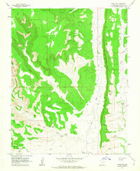
1962 · Bluff NW
USGS Topo · 1:24,000

1962 · Bluff
USGS Topo · 1:62,500
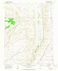
1962 · Bluff SW
USGS Topo · 1:24,000