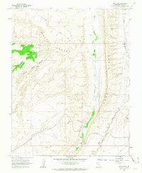
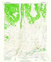
1962 Map of Bluff SW
USGS Topo · Published 1963About this map
Cliff Dwellings and prehistoric habitations dot the high alcoves of this high-desert landscape in southeastern Utah. The dramatic geological uplift of Comb Ridge bisects the terrain, creating a natural barrier between Butler Wash and Comb Wash. These watercourses served as vital corridors for early travelers, as evidenced by the route of the Mormon Trail winding across the northern plateau.
Find a feature on this map
19 named features on this map. Tap any name to fly to it.
Don’t see what you’re looking for? This feature index may not catch every label — zoom into the map to look around manually.
Map Details
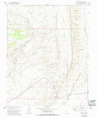
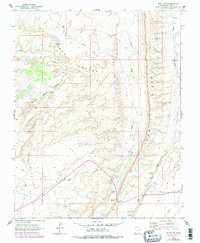
Editions of this 1962 Bluff SW Map
3 editions found
Other maps of this area

1886 · Abajo
USGS Topo · 1:250,000

1892 · Abajo
USGS Topo · 1:250,000

1893 · Abajo
USGS Topo · 1:250,000

1956 · Cortez
USGS Topo · 1:250,000

1958 · Cortez
USGS Topo · 1:250,000

1959 · Cortez
USGS Topo · 1:250,000

1962 · Cortez
USGS Topo · 1:250,000
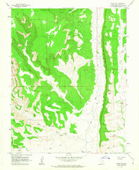
1962 · Bluff NW
USGS Topo · 1:24,000
1962 · Bluff
USGS Topo · 1:62,500
1962 · Boundary Butte
USGS Topo · 1:62,500