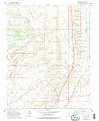
1962 Map of Bluff SW
USGS Topo · Published 1978About this map
Ancient archaeological sites including several Cliff Dwellings dot the landscape of San Juan County, illustrating the deep history of this corner of Utah. The terrain is dominated by the dramatic uplift of Comb Ridge and the parallel drainage of Comb Wash and Butler Wash. This survey reflects a crossroads of movement, where the historic Mormon Trail and various Jeep Trails traverse a high desert environment defined by Lime Ridge and the Barton Range.
Find a feature on this map
21 named features on this map. Tap any name to fly to it.
Don’t see what you’re looking for? This feature index may not catch every label — zoom into the map to look around manually.
Map Details
Editions of this 1962 Bluff SW Map
3 editions found
Other maps of this area

1886 · Abajo
USGS Topo · 1:250,000

1892 · Abajo
USGS Topo · 1:250,000

1893 · Abajo
USGS Topo · 1:250,000

1956 · Cortez
USGS Topo · 1:250,000

1958 · Cortez
USGS Topo · 1:250,000

1959 · Cortez
USGS Topo · 1:250,000

1962 · Cortez
USGS Topo · 1:250,000
1962 · Bluff NW
USGS Topo · 1:24,000

1962 · Bluff
USGS Topo · 1:62,500
1962 · Bluff SW
USGS Topo · 1:24,000