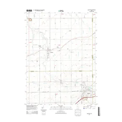
2013 Map of Bluffton
USGS Topo · Published 2013About this map
Bluffton and Pandora anchor this Northwest Ohio landscape, which reveals a dense network of Mennonite heritage through sites like the Johime Mennonite Cem, Old Mennonite Cem, and Reformed Mennonite Cem. The terrain is defined by the winding paths of Riley Creek and Cranberry Run, which cut through a predominantly agricultural region marked by family operations like Luginbill Swine Farms and Schulte Farms.
Find a feature on this map
122 named features on this map. Tap any name to fly to it.
Don’t see what you’re looking for? This feature index may not catch every label — zoom into the map to look around manually.
Map Details
Editions of this 2013 Bluffton Map
This is the sole edition of this map. No revisions or reprints were ever made.
Other maps of this area

1906 · Columbus Grove
USGS Topo · 1:62,500

1907 · Bluffton
USGS Topo · 1:62,500

1908 · Columbus Grove
USGS Topo · 1:62,500

1908 · Ottawa
USGS Topo · 1:62,500

1950 · Marion
USGS Topo · 1:250,000

1953 · Fort Wayne
USGS Topo · 1:250,000

1953 · Muncie
USGS Topo · 1:250,000

1956 · Muncie
USGS Topo · 1:250,000

1956 · Fort Wayne
USGS Topo · 1:250,000

1956 · Toledo
USGS Topo · 1:250,000