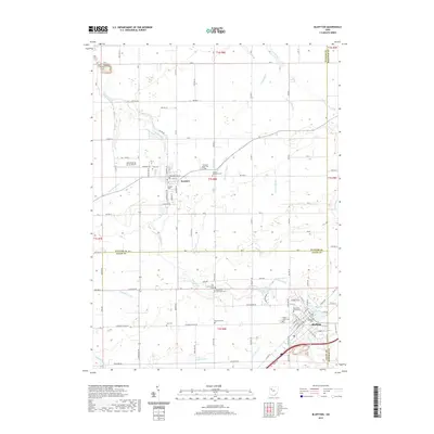
2019 Map of Bluffton
USGS Topo · Published 2019About this map
The village of Bluffton and its neighboring settlement Pandora anchor this 2019 survey, illustrating the deep Mennonite heritage and collegiate character of this corner of Ohio. The landscape is defined by the winding course of Riley Creek and its many tributaries, including Cranberry Run and Dutch Run. A remarkable concentration of historic burial grounds, such as the Old Mennonite Cem, Johme Mennonite Cem, and Reformed Mennonite Cem, provides a detailed geographic record for genealogists. The presence of Bluffton University near the banks of Buckeye Lake and Bluffton College Lake underscores the educational and institutional growth in the region. Outside the village centers, the map shows a highly organized grid of township roads and agricultural drainage features like Basinger Ditch and Homer Green Ditch, while the Ohio Dusting Co Inc Airport points to the area's specialized aerial agricultural services.
Find a feature on this map
60 named features on this map. Tap any name to fly to it.
Don’t see what you’re looking for? This feature index may not catch every label — zoom into the map to look around manually.
Map Details
Editions of this 2019 Bluffton Map
This is the sole edition of this map. No revisions or reprints were ever made.
Other maps of this area

1906 · Columbus Grove
USGS Topo · 1:62,500

1907 · Bluffton
USGS Topo · 1:62,500

1908 · Columbus Grove
USGS Topo · 1:62,500

1908 · Ottawa
USGS Topo · 1:62,500

1950 · Marion
USGS Topo · 1:250,000

1953 · Fort Wayne
USGS Topo · 1:250,000

1953 · Muncie
USGS Topo · 1:250,000

1956 · Muncie
USGS Topo · 1:250,000

1956 · Fort Wayne
USGS Topo · 1:250,000

1956 · Toledo
USGS Topo · 1:250,000