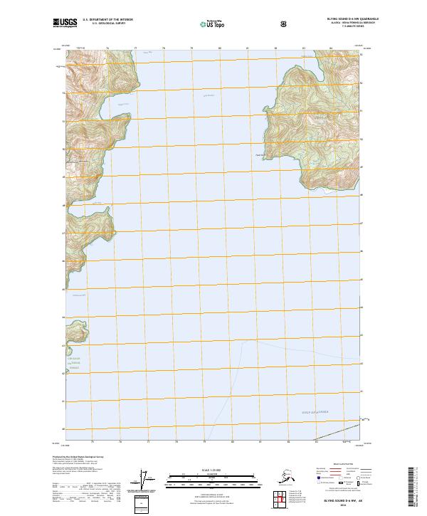
2024 Map of Blying Sound D-6 NW
USGS Topo · Published 2024About this map
The Resurrection Peninsula defines the western edge of this coastal landscape, where the tides of the Gulf of Alaska meet a complex series of protected inlets. Managed as part of the Alaska Maritime National Wildlife Refuge and Chugach National Forest, the region is characterized by steep glacial terrain dropping into deep water bays. Safe anchorages and landing sites, critical for maritime navigation and historical access to the interior of the Kenai Peninsula, are marked at Safety Cove, Anchor Cove, and Driftwood Bay.
Find a feature on this map
15 named features on this map. Tap any name to fly to it.
Don’t see what you’re looking for? This feature index may not catch every label — zoom into the map to look around manually.
Map Details
Editions of this 2024 Blying Sound D-6 NW Map
This is the sole edition of this map. No revisions or reprints were ever made.
Other maps of this area

1946 · Blying Sound
USGS Topo · 1:250,000

1950 · Seward A-6
USGS Topo · 1:63,360

1950 · Blying Sound D-7
USGS Topo · 1:63,360

1950 · Blying Sound D-6
USGS Topo · 1:63,360

1950 · Seward A-7
USGS Topo · 1:63,360

1951 · Blying Sound
USGS Topo · 1:250,000

1951 · Seward
USGS Topo · 1:250,000

1951 · Seward A-6
USGS Topo · 1:63,360

1951 · Seward A-7
USGS Topo · 1:63,360

1951 · Blying Sound D-7
USGS Topo · 1:63,360