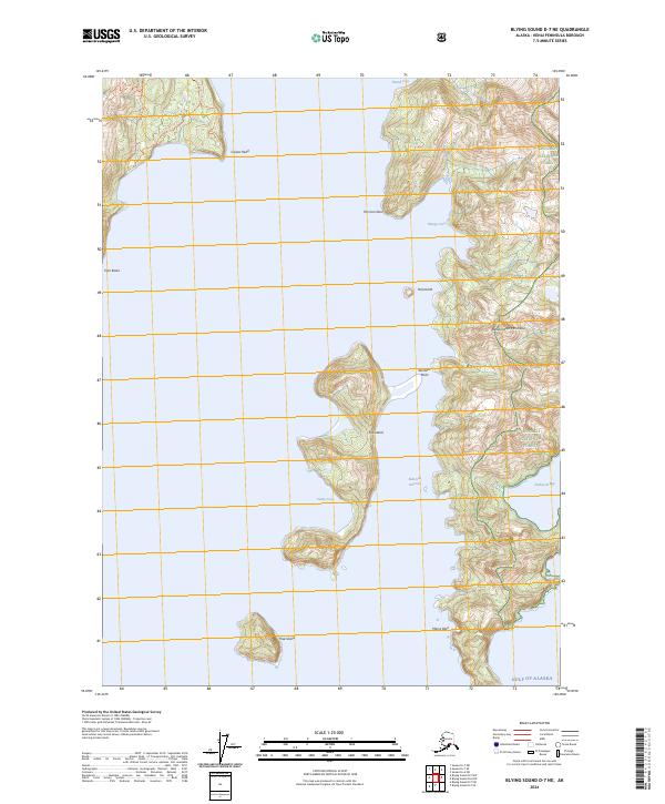
2024 Map of Blying Sound D-7 NE
USGS Topo · Published 2024About this map
Fox Island and the rugged coastal reaches of the Resurrection Peninsula dominate this coastal survey of the Gulf of Alaska. The landscape is defined by its deep fjords and maritime protection, with most of the land area falling under the jurisdiction of the Alaska Maritime National Wildlife Refuge and Chugach National Forest. Hikers can trace the South Beach Trl and Caines Head Trl along the western shoreline near Caines Head, providing a rare terrestrial connection in a region otherwise accessible primarily by water. Named coves such as Thumb Cove, Humpy Cove, and Sunny Cove suggest a history of seasonal anchorage and maritime activity. The presence of smaller features like The Iron Door and Marys Rock provide specific navigation points for those studying the intricate shoreline of the Eldorado Narrows.
Find a feature on this map
23 named features on this map. Tap any name to fly to it.
Don’t see what you’re looking for? This feature index may not catch every label — zoom into the map to look around manually.
Map Details
Editions of this 2024 Blying Sound D-7 NE Map
This is the sole edition of this map. No revisions or reprints were ever made.
Other maps of this area

1946 · Blying Sound
USGS Topo · 1:250,000

1950 · Seward A-6
USGS Topo · 1:63,360

1950 · Blying Sound D-7
USGS Topo · 1:63,360

1950 · Blying Sound D-6
USGS Topo · 1:63,360

1950 · Seward A-7
USGS Topo · 1:63,360

1951 · Blying Sound
USGS Topo · 1:250,000

1951 · Seward
USGS Topo · 1:250,000

1951 · Seward A-6
USGS Topo · 1:63,360

1951 · Seward A-7
USGS Topo · 1:63,360

1951 · Blying Sound D-7
USGS Topo · 1:63,360