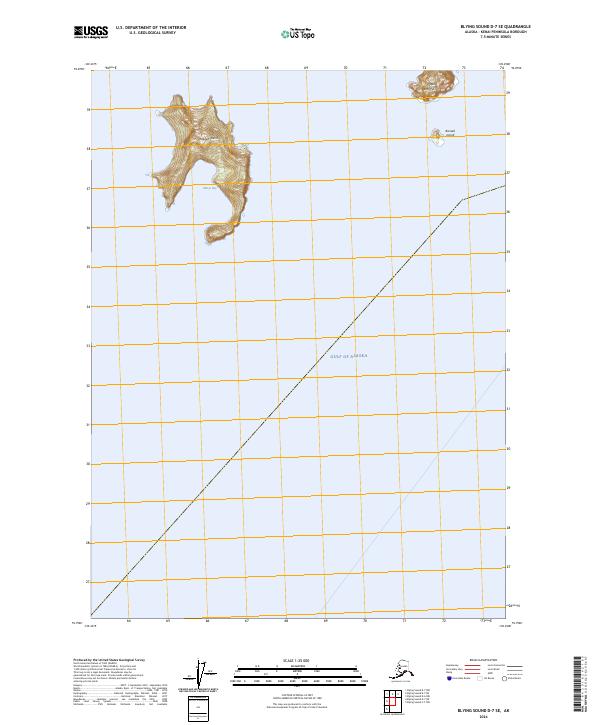
2024 Map of Blying Sound D-7 SE
USGS Topo · Published 2024About this map
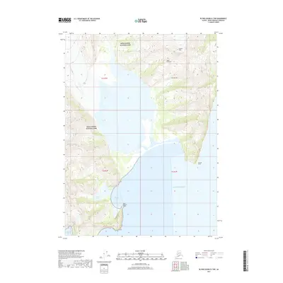
Rugged Island and the neighboring Barwell Island stand as prominent landmarks at the entrance to the Resurrection Bay area, marking the boundary where sheltered waters meet the open Gulf of Alaska. This maritime landscape is defined by the steep, rocky terrain of Cape Resurrection, which rises sharply from the sea. The entire area is contained within the Alaska Maritime National Wildlife Refuge, indicating a region managed for conservation rather than human settlement. The map provides a look at the hydrography of Marys Bay on the eastern side of Rugged Island, showing a coastline that has remained largely untouched by development into the twenty-first century.
Find a feature on this map
11 named features on this map. Tap any name to fly to it.
Don’t see what you’re looking for? This feature index may not catch every label — zoom into the map to look around manually.
Map Details
Editions of this 2024 Blying Sound D-7 SE Map
This is the sole edition of this map. No revisions or reprints were ever made.
Other maps of this area

1946 · Blying Sound
USGS Topo · 1:250,000

1950 · Blying Sound D-7
USGS Topo · 1:63,360

1950 · Blying Sound D-6
USGS Topo · 1:63,360

1951 · Blying Sound
USGS Topo · 1:250,000

1951 · Blying Sound D-7
USGS Topo · 1:63,360
1952 · Blying Sound C-7
USGS Topo · 1:63,360
1953 · Blying Sound D-6
USGS Topo · 1:63,360
1953 · Blying Sound D-7
USGS Topo · 1:63,360

1953 · Blying Sound
USGS Topo · 1:250,000
2017 · Blying Sound D-7 NW
USGS Topo · 1:25,000