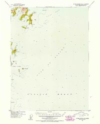
1952 Map of Blying Sound C-7
USGS Topo · Published 1954About this map
Aialik Cape and the surrounding maritime landscape of the Kenai Peninsula are documented here in the early 1950s, highlighting a complex archipelago where the Gulf of Alaska meets the Pacific Ocean. This coastal survey, compiled from 1950 aerial photography and hydrographic charts, detail a series of rocky outposts including the Chiswell Islands and the smaller Seal Rocks to the south.
Find a feature on this map
17 named features on this map. Tap any name to fly to it.
Don’t see what you’re looking for? This feature index may not catch every label — zoom into the map to look around manually.
Map Details
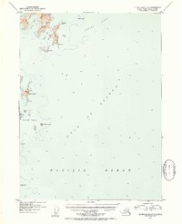
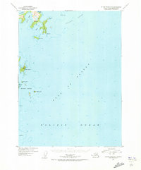
Editions of this 1952 Blying Sound C-7 Map
3 editions found
Other maps of this area

1946 · Blying Sound
USGS Topo · 1:250,000

1950 · Blying Sound D-7
USGS Topo · 1:63,360

1950 · Blying Sound D-6
USGS Topo · 1:63,360

1951 · Blying Sound
USGS Topo · 1:250,000
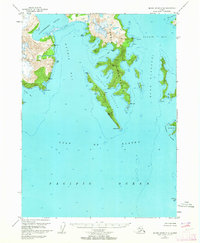
1951 · Blying Sound C-8
USGS Topo · 1:63,360
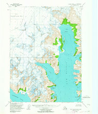
1951 · Blying Sound D-8
USGS Topo · 1:63,360

1951 · Blying Sound D-7
USGS Topo · 1:63,360
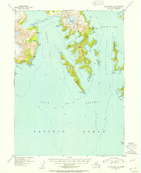
1952 · Blying Sound C-8
USGS Topo · 1:63,360
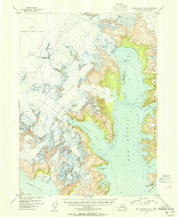
1953 · Blying Sound D-8
USGS Topo · 1:63,360
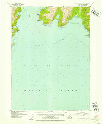
1953 · Blying Sound D-6
USGS Topo · 1:63,360