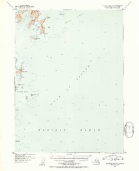
1952 Map of Blying Sound C-7
USGS Topo · Published 1954About this map
The Aialik Peninsula marks the rugged coastline of the Kenai Peninsula in this mid-century hydrographic and topographic study. As the land meets the Gulf of Alaska, the map reveals a complex system of deep-water coves and exposed headlands, including Pony Cove, Chat Cove, and the prominent Aialik Cape. The bathymetry of Blying Sound is detailed with soundings and depth curves, illustrating the transition from the sheltered waters of Three Hole Bay and Cliff Bay to the open Pacific Ocean. Farther offshore, the Chiswell Islands chain is mapped in detail, showing the distinct profiles of Natoa Island, Matushka Island, and the precarious Beehive Island. Navigational landmarks like Pilot Rock and the remote Seal Rocks highlight the maritime character of this region during the early 1950s.
Find a feature on this map
18 named features on this map. Tap any name to fly to it.
Don’t see what you’re looking for? This feature index may not catch every label — zoom into the map to look around manually.
Map Details
Editions of this 1952 Blying Sound C-7 Map
3 editions found
Other maps of this area

1946 · Blying Sound
USGS Topo · 1:250,000

1950 · Blying Sound D-7
USGS Topo · 1:63,360

1950 · Blying Sound D-6
USGS Topo · 1:63,360

1951 · Blying Sound
USGS Topo · 1:250,000
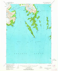
1951 · Blying Sound C-8
USGS Topo · 1:63,360
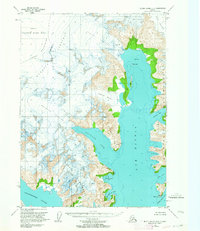
1951 · Blying Sound D-8
USGS Topo · 1:63,360

1951 · Blying Sound D-7
USGS Topo · 1:63,360
1952 · Blying Sound C-8
USGS Topo · 1:63,360
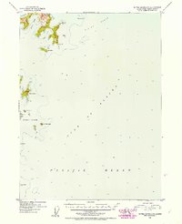
1952 · Blying Sound C-7
USGS Topo · 1:63,360
1953 · Blying Sound D-8
USGS Topo · 1:63,360