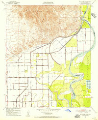
1951 Map of Blythe NE
USGS Topo · Published 1956About this map
The Big Maria Mountains dominate the northern landscape of this survey, giving way to the engineered agricultural plains of the Palo Verde Valley. Central to the region's development is the Palo Verde Intake and an extensive irrigation network, including the Main Canal, Duplicate Canal, and numerous numbered siphons and drains that transformed the desert into productive land. The human history of the era is marked by the Fertilla (Ruins), suggesting an earlier settlement attempt near the modern irrigation infrastructure.
Find a feature on this map
49 named features on this map. Tap any name to fly to it.
Don’t see what you’re looking for? This feature index may not catch every label — zoom into the map to look around manually.
Map Details
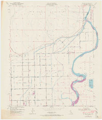
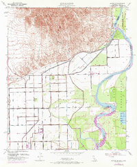
Editions of this 1951 Blythe NE Map
4 editions found

Other maps of this area

1931 · Moon Mtn
USGS Topo · 1:62,500

1932 · Moon Mtn
USGS Topo · 1:62,500

1933 · Cunningham Mtn
USGS Topo · 1:48,000

1940 · Dome Rock Mts
USGS Topo · 1:62,500

1942 · Blythe
USGS Topo · 1:250,000

1942 · MOON MTN
USGS Topo · 1:62,500

1945 · Big Maria Mtns
USGS Topo · 1:62,500

1951 · Big Maria Mts
USGS Topo · 1:62,500

1951 · Blythe
USGS Topo · 1:24,000

1951 · McCoy Wash
USGS Topo · 1:24,000