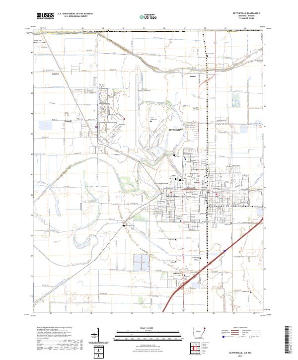
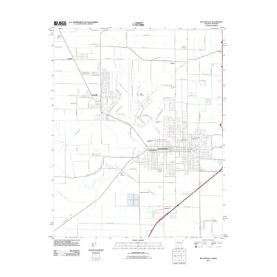
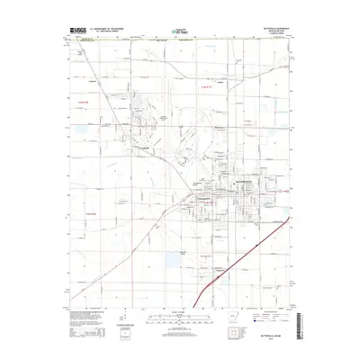
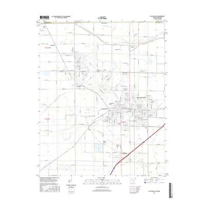
2024 Map of Blytheville
USGS Topo · Published 2024About this map
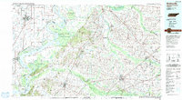
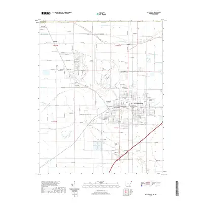
Chickasawba Mound stands as a prominent ancient landmark in the Mississippi River delta, just north of the Mississippi County Courthouse in Blytheville. This modern survey reveals a landscape profoundly shaped by a systematic drainage network, characterized by numerous channels such as Ditch Number 26 and Ditch Number 36 that crisscross the fertile agricultural plains. These ditches are essential to the region's productivity, supporting the surrounding communities of Gosnell, Chickasawba, and Dogwood.
Find a feature on this map
94 named features on this map. Tap any name to fly to it.
Don’t see what you’re looking for? This feature index may not catch every label — zoom into the map to look around manually.
Map Details
Editions of this 2024 Blytheville Map
This is the sole edition of this map. No revisions or reprints were ever made.
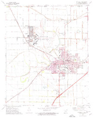
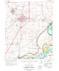
Historical Maps of Blytheville Through Time
12 maps found

1939 Blytheville
Mississippi County, AR

1955 Blytheville
Mississippi County, AR
1956 Blytheville
Mississippi County, AR

1959 Blytheville
Mississippi County, AR
1972 Blytheville
Mississippi County, AR
1976 Blytheville
Mississippi County, AR
1986 Blytheville
Mississippi County, AR
2011 Blytheville
Mississippi County, AR
2014 Blytheville
Mississippi County, AR
2017 Blytheville
Mississippi County, AR
2020 Blytheville
Mississippi County, AR
2024 Blytheville
Mississippi County, AR