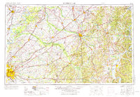
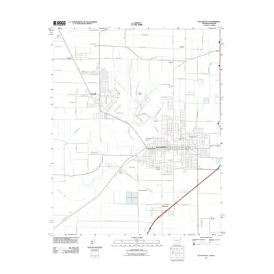
1956 Map of Blytheville
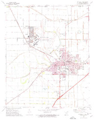
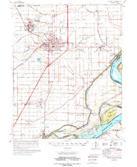
USGS Topo · Published 1973About this map
The Mississippi River valley and the high ground of West Tennessee define this mid-century landscape, anchored by the burgeoning city of Memphis and the industrial hub of Jackson. This period reflects the significant military presence in the region, dominated by the sprawling Blytheville Air Force Base near the Arkansas-Missouri border and the Milan Arsenal to the east. Transportation networks are highly developed, featuring a dense grid of major rail lines including the Illinois Central RR and the Louisville and Nashville RR, which connect river towns like Osceola and Ripley to inland centers.
Find a feature on this map
79 named features on this map. Tap any name to fly to it.
Don’t see what you’re looking for? This feature index may not catch every label — zoom into the map to look around manually.
Map Details
Editions of this 1956 Blytheville Map
2 editions found

Historical Maps of Memphis Through Time
12 maps found

1939 Blytheville
Mississippi County, AR

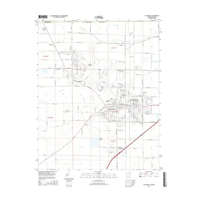
1955 Blytheville
Mississippi County, AR
1956 Blytheville
Mississippi County, AR

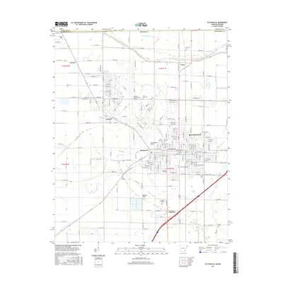
1959 Blytheville
Mississippi County, AR
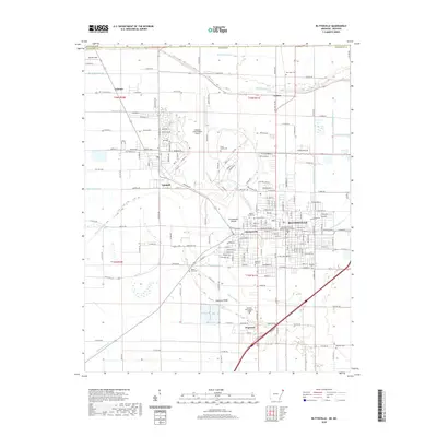
1972 Blytheville
Mississippi County, AR
1976 Blytheville
Mississippi County, AR
1986 Blytheville
Mississippi County, AR
2011 Blytheville
Mississippi County, AR
2014 Blytheville
Mississippi County, AR
2017 Blytheville
Mississippi County, AR
2020 Blytheville
Mississippi County, AR
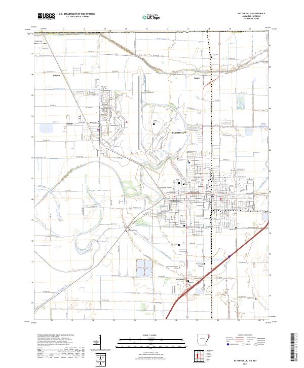
2024 Blytheville
Mississippi County, AR