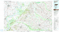
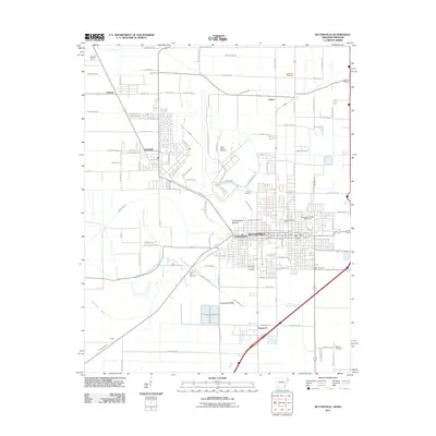
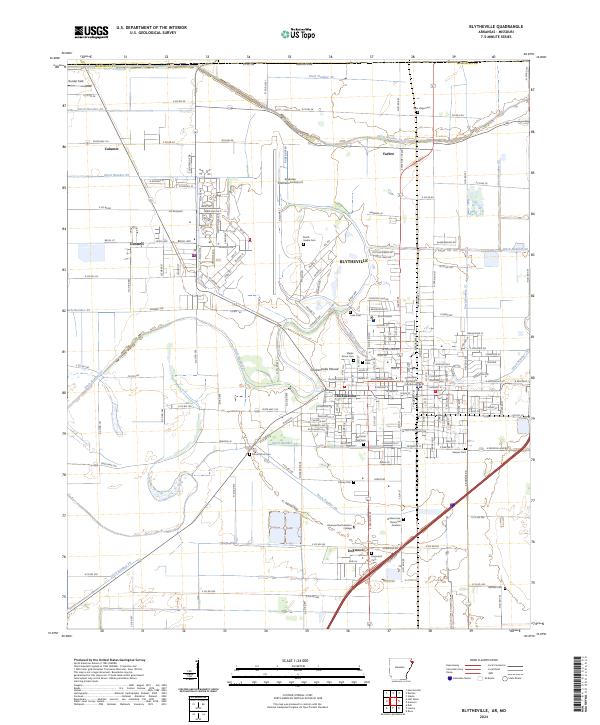
1986 Map of Blytheville
USGS Topo · Published 1991About this map
The Mississippi River carves a complex, winding path through the heart of this mid-1980s survey, defining the borderlands where Arkansas, Tennessee, and Missouri meet. Along its western banks, the industrial and agricultural centers of Blytheville and Osceola are prominent, alongside the significant military footprint of the Blytheville Air Force Base. The river's dynamic nature is evidenced by numerous chutes, bars, and towheads, such as Sunrise Towhead and Hatchie Towhead, which create a shifting landscape of islands and backwaters.
Find a feature on this map
153 named features on this map. Tap any name to fly to it.
Don’t see what you’re looking for? This feature index may not catch every label — zoom into the map to look around manually.
Map Details
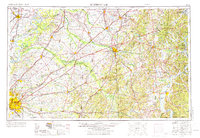
Editions of this 1986 Blytheville Map
2 editions found

Historical Maps of Dyersburg Through Time
12 maps found

1939 Blytheville
Mississippi County, AR

1955 Blytheville
Mississippi County, AR
1956 Blytheville
Mississippi County, AR

1959 Blytheville
Mississippi County, AR
1972 Blytheville
Mississippi County, AR
1976 Blytheville
Mississippi County, AR
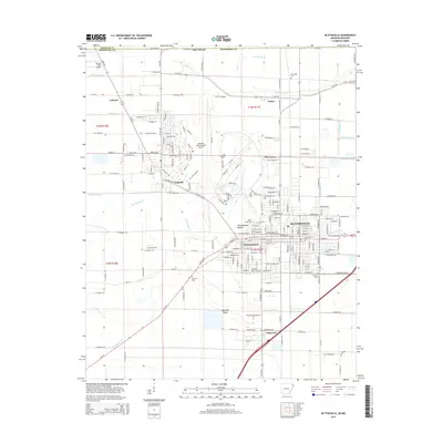
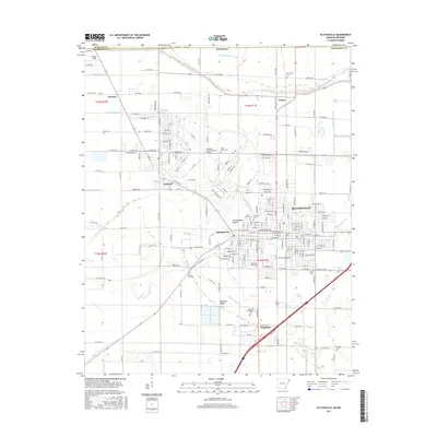
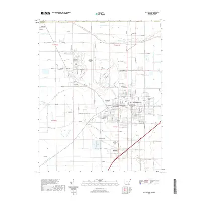
1986 Blytheville
Mississippi County, AR
2011 Blytheville
Mississippi County, AR
2014 Blytheville
Mississippi County, AR
2017 Blytheville
Mississippi County, AR
2020 Blytheville
Mississippi County, AR
2024 Blytheville
Mississippi County, AR