
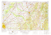
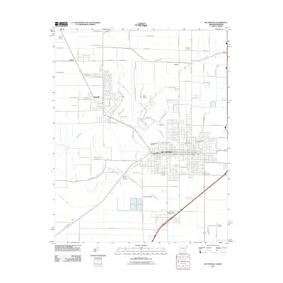
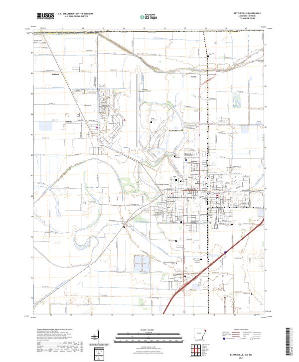
1986 Map of Blytheville
USGS Topo · Published 1986About this map
The Mississippi River carves a massive, winding path through the center of this mid-1980s survey, defining the boundary between the Arkansas Delta and West Tennessee. On the western bank, the landscape is shaped by the presence of Blytheville Air Force Base and the riverfront commerce of Osceola and Luxora. To the east, the terrain shifts into the broken bluffs and bottomlands of Tennessee, where the Hatchie River and Forked Deer River converge toward the main channel. Large-scale public and conservation lands dominate the river corridor, including the Anderson-Tully State Wildlife Management Area and the Fort Pillow State Prison Farm. Local history is preserved in the smaller settlements like Nodena and Golddust, while the Hatchie National Wildlife Refuge and Tigrett State Wildlife Management Area mark significant preserved wetlands. The map also traces the infrastructure of the era, from the Burlington Northern Railroad in Arkansas to the Illinois Central Gulf Railroad serving Covington and Ripley.
Find a feature on this map
161 named features on this map. Tap any name to fly to it.
Don’t see what you’re looking for? This feature index may not catch every label — zoom into the map to look around manually.
Map Details
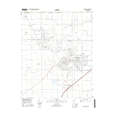
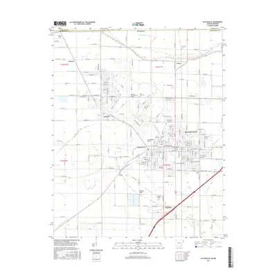
Editions of this 1986 Blytheville Map
2 editions found
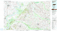
Historical Maps of Dyersburg Through Time
12 maps found

1939 Blytheville
Mississippi County, AR

1955 Blytheville
Mississippi County, AR
1956 Blytheville
Mississippi County, AR

1959 Blytheville
Mississippi County, AR
1972 Blytheville
Mississippi County, AR
1976 Blytheville
Mississippi County, AR
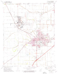
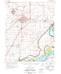
1986 Blytheville
Mississippi County, AR
2011 Blytheville
Mississippi County, AR
2014 Blytheville
Mississippi County, AR
2017 Blytheville
Mississippi County, AR
2020 Blytheville
Mississippi County, AR
2024 Blytheville
Mississippi County, AR