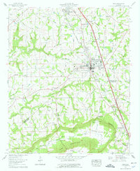
1958 Map of Boaz
USGS Topo · Published 1976About this map
Sand Mountain dominates the high plateau of Marshall and Etowah Counties, where the Tennessee Valley Authority mapped the expanding infrastructure of Boaz and Albertville in the late 1950s. The landscape is a study in highland agriculture and education, centered on Snead College and the regional Boaz-Albertville Hospital. Deeply etched drainages like Wolf Creek and Little Slab Creek reveal the underlying topography, while historic transportation routes such as the Louisville and Nashville railroad and the Florida Short Route define the commercial corridor.
Find a feature on this map
52 named features on this map. Tap any name to fly to it.
Don’t see what you’re looking for? This feature index may not catch every label — zoom into the map to look around manually.
Map Details
Editions of this 1958 Boaz Map
2 editions found
Other maps of this area

1885 · Gadsden
USGS Topo · 1:125,000

1888 · Gadsden
USGS Topo · 1:125,000

1892 · Gadsden
USGS Topo · 1:125,000

1895 · Gadsden
USGS Topo · 1:125,000

1903 · Gadsden
USGS Topo · 1:125,000

1936 · Painter
USGS Topo · 1:24,000

1936 · Guntersville
USGS Topo · 1:24,000

1936 · Mountainboro
USGS Topo · 1:24,000

1936 · Rodentown
USGS Topo · 1:24,000

1936 · High Point
USGS Topo · 1:24,000