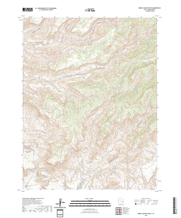
2023 Map of Bobby Canyon South
USGS Topo · Published 2023About this map
The Book Cliffs dominate this eastern Utah landscape, forming a dramatic escarpment that separates high plateaus from the lower Gunnison Valley. This 2023 survey illustrates an intricate drainage system carved into the Mancos Shale and sandstone layers, characterized by deeply incised features like Tusher Canyon and Horse Canyon. The map reveals a network of branching corridors, including the Left Hand Tusher Canyon and Right Hand Tusher Canyon, which define the local topography. Evidence of vital water sources in this arid environment is found at Cottonwood Spring and Cow Spring, while elevated plateaus such as Tusher Bench and Coal Canyon Bench provide distinct landmarks between the canyons. To the south, Browns Wash collects the seasonal runoff from these steep slopes, illustrating the fundamental relationship between geologic erosion and the regional watershed.
Find a feature on this map
22 named features on this map. Tap any name to fly to it.
Don’t see what you’re looking for? This feature index may not catch every label — zoom into the map to look around manually.
Map Details
Editions of this 2023 Bobby Canyon South Map
This is the sole edition of this map. No revisions or reprints were ever made.
Other maps of this area

1885 · San Rafael
USGS Topo · 1:250,000

1885 · East Tavaputs
USGS Topo · 1:250,000

1885 · La Sal
USGS Topo · 1:250,000

1886 · Price River
USGS Topo · 1:250,000

1896 · Price River
USGS Topo · 1:250,000

1954 · Tidwell 1 NE
USGS Topo · 1:24,000

1954 · Green River
USGS Topo · 1:62,500

1956 · Salina
USGS Topo · 1:250,000

1956 · Price
USGS Topo · 1:250,000

1956 · Moab
USGS Topo · 1:250,000