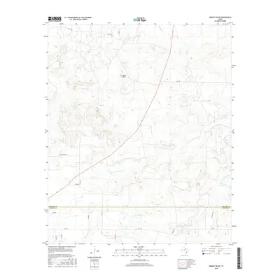
2016 Map of Bobcat Bluff
USGS Topo · Published 2016About this map
Bobcat Bluff rises above the rolling north Texas landscape at the boundary where the W Fork Trinity River and S Fork Trinity River dominate the drainage system. This 2016 survey captures the topography of a region defined by its water resources, featuring numerous named catchments such as Conner Lake, Calvin Lake, and Campbell Lake. The terrain is marked by seasonal drainages including Dogwood Cr, Onion Cr, and Curtis Cr, which feed into the larger river forks. Notable landmarks like Persimmon Springs indicate where water once dictated local settlement patterns. A network of rural routes, from Falls Co Rd in the north to FM 1768 in the south, connects the scattered ranchlands across the border of Archer Co and Young Co.
Find a feature on this map
26 named features on this map. Tap any name to fly to it.
Don’t see what you’re looking for? This feature index may not catch every label — zoom into the map to look around manually.
Map Details
Editions of this 2016 Bobcat Bluff Map
This is the sole edition of this map. No revisions or reprints were ever made.
Other maps of this area

1931 · Archer City
USGS Topo · 1:62,500

1932 · Dundee
USGS Topo · 1:62,500

1954 · Wichita Falls
USGS Topo · 1:250,000

1958 · Wichita Falls
USGS Topo · 1:250,000

1963 · Archer City East
USGS Topo · 1:24,000

1964 · Bobcat Bluff
USGS Topo · 1:24,000

1964 · True
USGS Topo · 1:24,000

1964 · Dundee SE
USGS Topo · 1:24,000

1964 · Loving
USGS Topo · 1:24,000

1964 · Archer City West
USGS Topo · 1:24,000