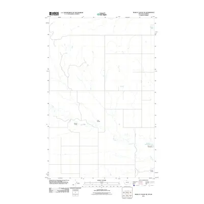
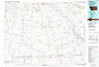
2011 Map of Bobcat Coulee NE
USGS Topo · Published 2011About this map
Sage Creek and its associated drainages define the landscape of this Montana-Alberta border region. The area is characterized by deep topographical cuts known locally as coulees, including Bobcat Coulee, Lost Coulee, and Strode Coulee. Human modification of the landscape is primarily seen through the management of water resources in this arid environment, evidenced by the Wolery Fish Pond and the corresponding Wolery Fish Pond Dam. Small tributaries such as Laird Creek feed into the larger system, while Silver Lake sits at the northern reaches near the international boundary. Transportation across this sparsely populated section of Hill County relies on local routes like Rte-224, which connects the scattered agricultural and ranching properties to the broader region.
Find a feature on this map
9 named features on this map. Tap any name to fly to it.
Don’t see what you’re looking for? This feature index may not catch every label — zoom into the map to look around manually.
Map Details
Editions of this 2011 Bobcat Coulee NE Map
This is the sole edition of this map. No revisions or reprints were ever made.
Other maps of this area

1919 · Alma
USGS Topo · 1:125,000

1954 · Shelby
USGS Topo · 1:250,000

1958 · Shelby
USGS Topo · 1:250,000

1963 · Bobcat Coulee SE
USGS Topo · 1:24,000

1963 · Vaver Reservoir
USGS Topo · 1:24,000
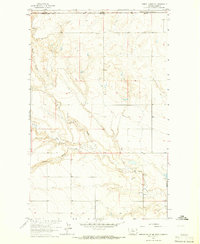
1964 · Bobcat Coulee NE
USGS Topo · 1:24,000
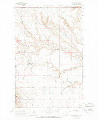
1964 · Laird School
USGS Topo · 1:24,000

1972 · Goldstone SW
USGS Topo · 1:24,000
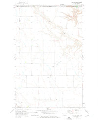
1972 · Laird Lake
USGS Topo · 1:24,000
1984 · Chester
USGS Topo · 1:100,000