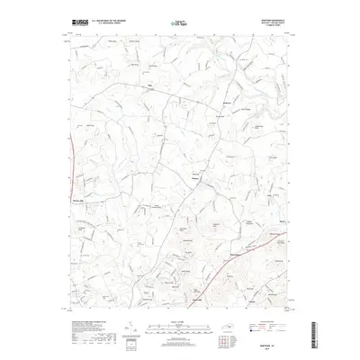
2019 Map of Bobtown
USGS Topo · Published 2019About this map
Science Hill anchors the southwestern corner of this survey, a landscape defined by the rolling knobs and winding creek branches of Pulaski County. The topography is dotted with family names and legacy landmarks, from Ware Knob and Bergin Knob in the north to Jingling Hole Knob and Darky Knob in the southeast. This region's history is preserved through its numerous rural burial grounds and places of worship, such as the Etna Church of Christ and the Sweeny Church. A web of local roads, including Texas School Rd and Mayfield School Rd, connects small communities like Dabney, Etna, and Bobtown. The Norfolk Southern railroad cuts a north-south line through the western edge, tracing a vital transport corridor that has served this area for generations. Water is ever-present in the form of deep-cut drainage, with Buck Creek and Pitman Cr shaping the rugged contours of the terrain.
Find a feature on this map
182 named features on this map. Tap any name to fly to it.
Don’t see what you’re looking for? This feature index may not catch every label — zoom into the map to look around manually.
Map Details
Editions of this 2019 Bobtown Map
This is the sole edition of this map. No revisions or reprints were ever made.
Other maps of this area

1893 · London
USGS Topo · 1:125,000

1897 · London
USGS Topo · 1:125,000

1935 · Somerset
USGS Topo · 1:62,500

1952 · Eubank
USGS Topo · 1:24,000

1952 · Dykes
USGS Topo · 1:24,000

1952 · Shopville
USGS Topo · 1:24,000

1952 · Woodstock
USGS Topo · 1:24,000

1953 · Maretburg
USGS Topo · 1:24,000
1954 · Bobtown
USGS Topo · 1:24,000

1954 · Delmer
USGS Topo · 1:24,000