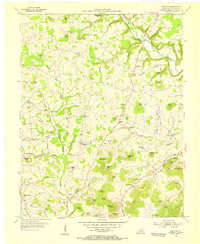
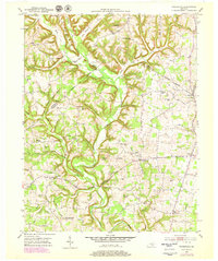
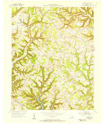
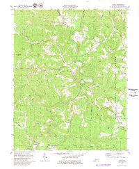
1954 Map of Bobtown
USGS Topo · Published 1955This historical map portrays the area of Bobtown in 1954, primarily covering Pulaski County. Featuring a scale of 1:24000, this map provides a highly detailed snapshot of the terrain, roads, buildings, counties, and historical landmarks in the Bobtown region at the time. Published in 1955, it is one of 3 known editions of this map due to revisions or reprints.
Find a feature on this map
94 named features on this map. Tap any name to fly to it.
Don’t see what you’re looking for? This feature index may not catch every label — zoom into the map to look around manually.
Map Details
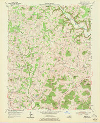
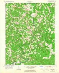
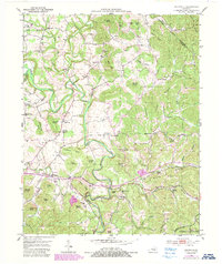
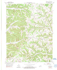
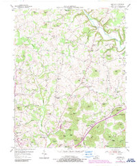
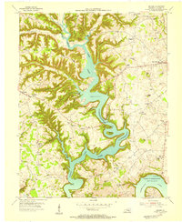
Editions of this 1954 Bobtown Map
3 editions found
Historical Maps of Dabney Through Time
11 maps found
1952 Dykes
Pulaski County, KY
1952 Shopville
Pulaski County, KY
1952 Woodstock
Pulaski County, KY
1953 Mintonville
Pulaski County, KY
1954 Bobtown
Pulaski County, KY
1954 Delmer
Pulaski County, KY
1954 Faubush
Pulaski County, KY
1961 Delmer
Pulaski County, KY
1973 Delmer
Pulaski County, KY
1973 Faubush
Pulaski County, KY
1979 Dykes
Pulaski County, KY