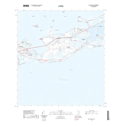
2021 Map of Boca Chica Key
USGS Topo · Published 2021About this map
The Key West Naval Air Station / Boca Chica Field dominates the central landscape of this coastal survey, highlighting the strategic military importance of the lower Florida Keys. This modern view illustrates a complex network of keys and channels, where residential development on Big Coppitt Key and Stock Island contrasts with the preserved military and industrial installations nearby. Long-standing local landmarks, such as the Southern Keys Cem and Florida Keys Community College, anchor the community's history within this aquatic environment.
Find a feature on this map
72 named features on this map. Tap any name to fly to it.
Don’t see what you’re looking for? This feature index may not catch every label — zoom into the map to look around manually.
Map Details
Editions of this 2021 Boca Chica Key Map
This is the sole edition of this map. No revisions or reprints were ever made.
Other maps of this area

1921 · Sugar Loaf Key
USGS Topo · 1:62,500

1921 · Key West
USGS Topo · 1:62,500

1943 · Bay Keys
USGS Topo · 1:24,000

1943 · Saddlebunch Keys
USGS Topo · 1:24,000

1943 · Boca Chica
USGS Topo · 1:24,000

1943 · Key West
USGS Topo · 1:24,000

1943 · Snipe Keys
USGS Topo · 1:24,000

1943 · Sugarloaf Key
USGS Topo · 1:24,000

1962 · Key West
USGS Topo · 1:24,000

1968 · Saddlebunch Keys
USGS Topo · 1:24,000