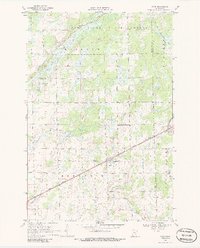
1968 Map of Bock
USGS Topo · Published 1986About this map
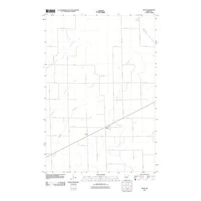
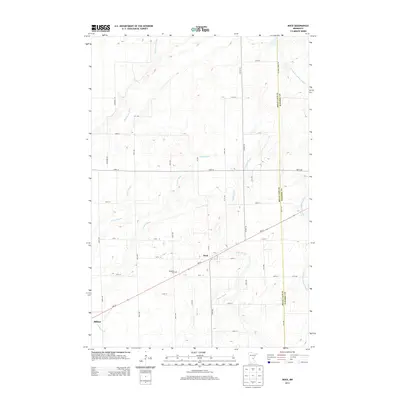
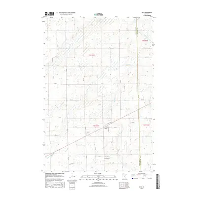
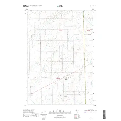
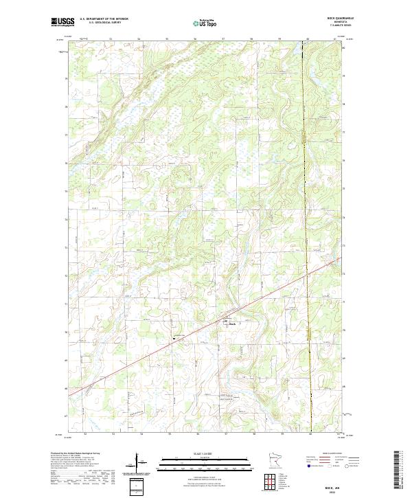
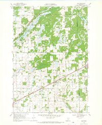
The village of Bock serves as the central hub of this late-1960s survey, where the Great Northern railroad tracks cut a diagonal path through the township of Borgholm. The landscape is defined by its intricate drainage patterns, with numerous watercourses like Mike Drew Brook and Vondell Brook feeding toward the South Fork Groundhouse River. Much of the northern terrain is managed within the Rum River State Forest, characterized by the marshy wetlands of Hayland. Local civic life and history are anchored by landmarks such as the Borgholm Cem, the Townhall, and the rural School No 1156. Small-scale industry is evidenced by several Gravel Pits scattered near the rail line and riverbanks, reflecting the local extraction economy of Mille Lacs County.
Find a feature on this map
20 named features on this map. Tap any name to fly to it.
Don’t see what you’re looking for? This feature index may not catch every label — zoom into the map to look around manually.
Map Details
Editions of this 1968 Bock Map
2 editions found
Historical Maps of Bock Through Time
6 maps found