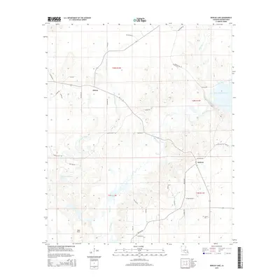
2015 Map of Bodcau Lake
USGS Topo · Published 2015About this map
Bellevue and the rural crossroads of Midway anchor this section of Bossier Parish, where the winding course of Bodcau Creek and Dry Cypress Bayou define the landscape. The geography is characterized by the extensive wetlands and bottomlands associated with the Bayou Bodcau Reservoir and Bodcau Lake, illustrating the complex water management and drainage patterns of the Red River basin. Local history and genealogy interests are grounded in features like Hawkins Cem, situated south of the reservoir area.
Find a feature on this map
39 named features on this map. Tap any name to fly to it.
Don’t see what you’re looking for? This feature index may not catch every label — zoom into the map to look around manually.
Map Details
Editions of this 2015 Bodcau Lake Map
This is the sole edition of this map. No revisions or reprints were ever made.
Other maps of this area

1922 · Sarepta
USGS Topo · 1:62,500

1924 · Sarepta
USGS Topo · 1:62,500

1932 · Bossier SE
USGS Topo · 1:31,680

1932 · Bossier NE
USGS Topo · 1:31,680

1932 · Bossier SW
USGS Topo · 1:31,680

1932 · Bossier NW
USGS Topo · 1:31,680

1947 · Minden
USGS Topo · 1:62,500

1948 · Bossier City
USGS Topo · 1:62,500

1949 · Minden
USGS Topo · 1:62,500

1950 · Plain Dealing SW
USGS Topo · 1:31,680